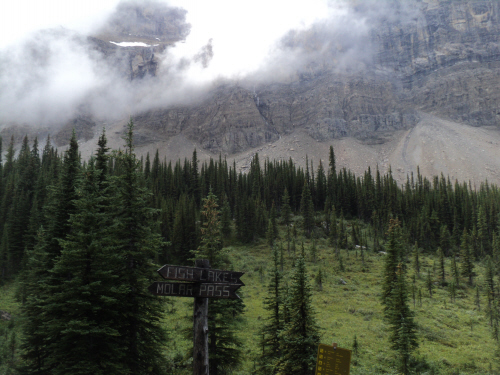
Approach via Mosquito Pass, GR:524255.
Exit via Quartzite Col, GR:476281.
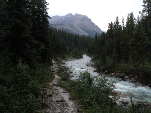
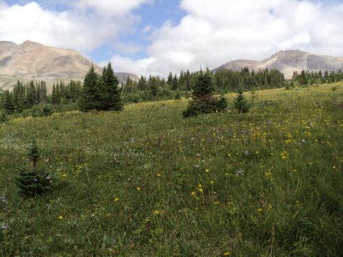
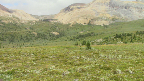
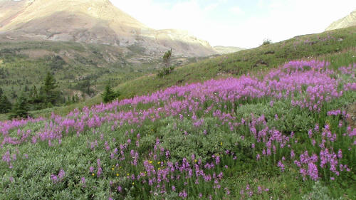
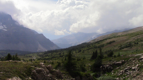
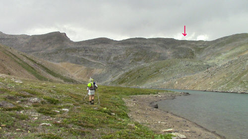
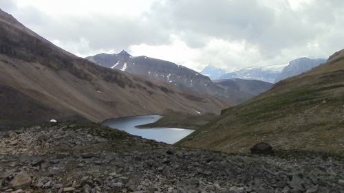
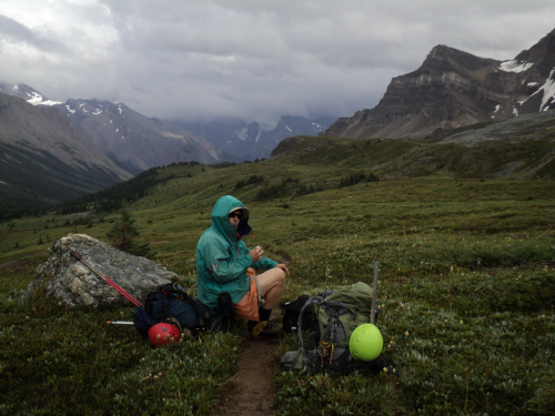
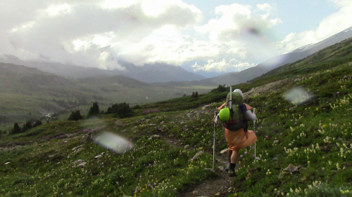
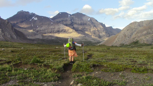
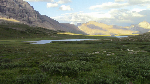
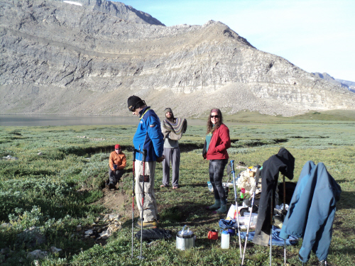
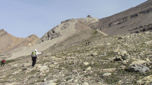
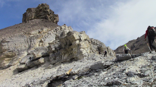
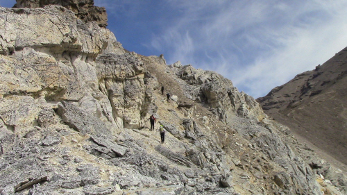
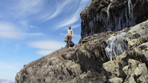
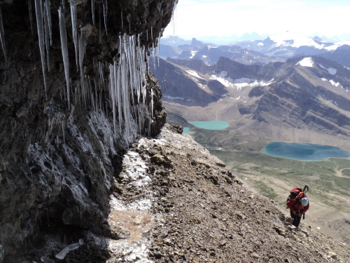
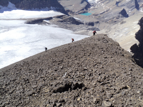
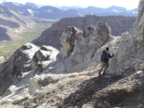
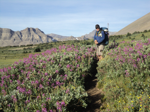
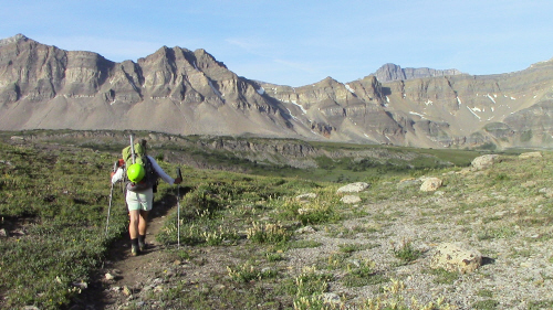
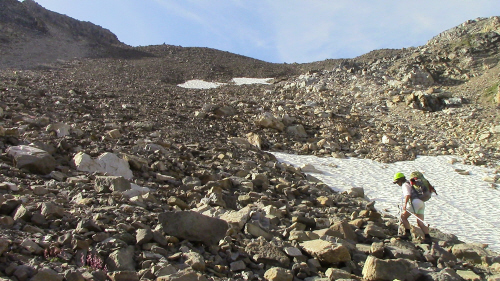
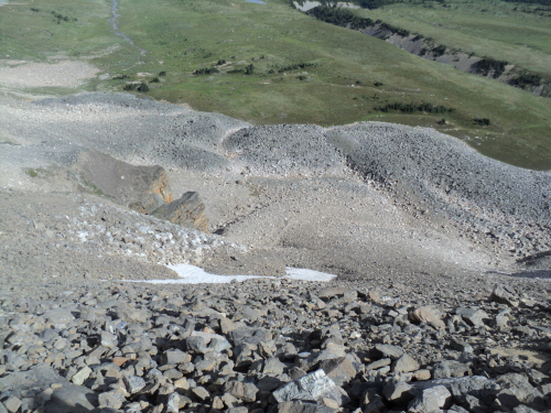
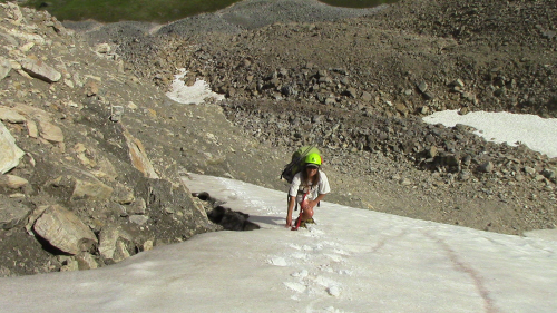
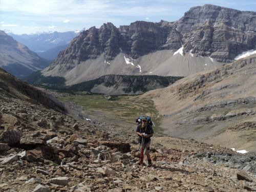
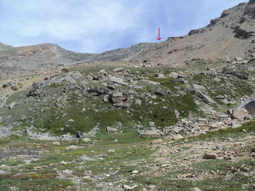
Approach (7.75 hours): I took saturday off and worked a half day on friday. While I worked, Fab brought the dogs to Christine. When I arrived at home, he was still at the kennel; I gathered our stuff and made sure we could leave quickly, we had a long hike ahead of us. The weather forecast for friday was dismal; with 60 % chance of thunderstorms, we were prepared for rain. We drove off in the rain; umm, déjà vu (Molar Mountain). We left the trailhead at 12:30 with our raingear on, we decided a simple garbage bag would do the job. The cloud cover was low and surrounding mountains were partially obscured. As we made our way towards Mosquito Creek Campground, we started reconsidering our plan of going through Quartzite Col; reduced visibility and eminent thunderstorms were obvious factors. We chose to continue on the nice trail and go through North Molar Pass instead; we knew Jay's party had chosen this route. We met two joggers along the way, I asked them if they had seen our friends who had left a couple of hours earlier. They informed us that they were ahead and planning a shortcut through Mosquito Pass. I couldn't believe it, that information was quite valuable; what were the odds of them knowing so much. Fab looked at the map and it was evident where the shortcut is; we chose to go that way. Further along, we left the trail and travelled in alpine meadows towards a tarn. The clouds darkened and started closing up again, it looked like thunderstorms. Our pace became hasty as we circumvented the tarn towards the pass; it was raining by now and the wind picked up. We didn't really know where to aim on the pass for a favorable descent into the Pipestone Valley. As we neared the crest, we heard rumbling nearby; we felt exposed. Once crested, we started heading south to the next saddle until we found one that gave way to a possible descent. We continued on lichen-covered blocky rock to the low point of the pass where we found a decent way down into Pipestone. Just as we rejoined the popular trail, the sky cleared up for a short while. The trek to Pipestone Pass is pleasant, we enjoyed the gradual ascent and sunny breaks but as we reached the pass, another thunderstorm rolled overhead. We reached Devon Lakes at 8:30 PM, our friends were there. After setting up the tarp and making supper, it started drizzling again. We retired early hoping the next days would be sunny as promised.
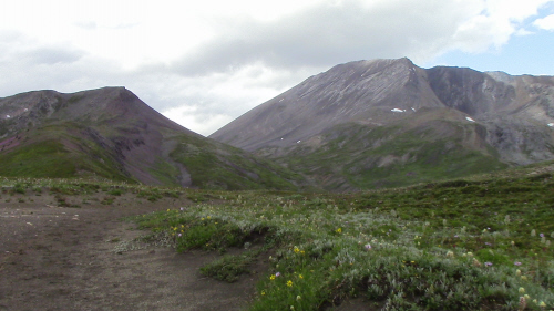
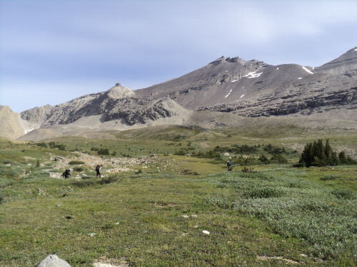
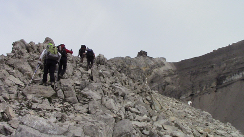
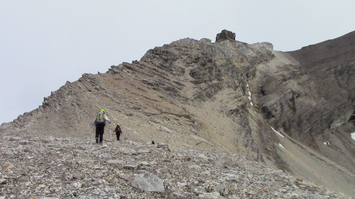
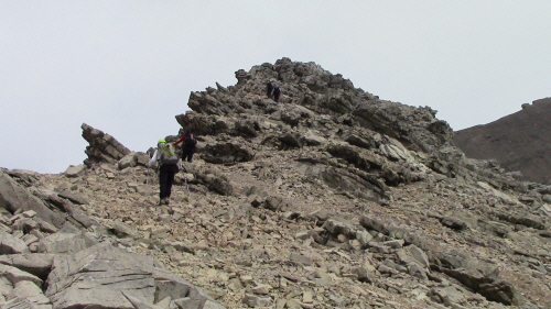
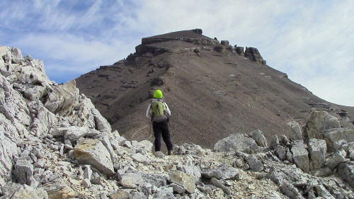
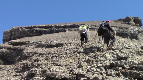
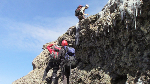
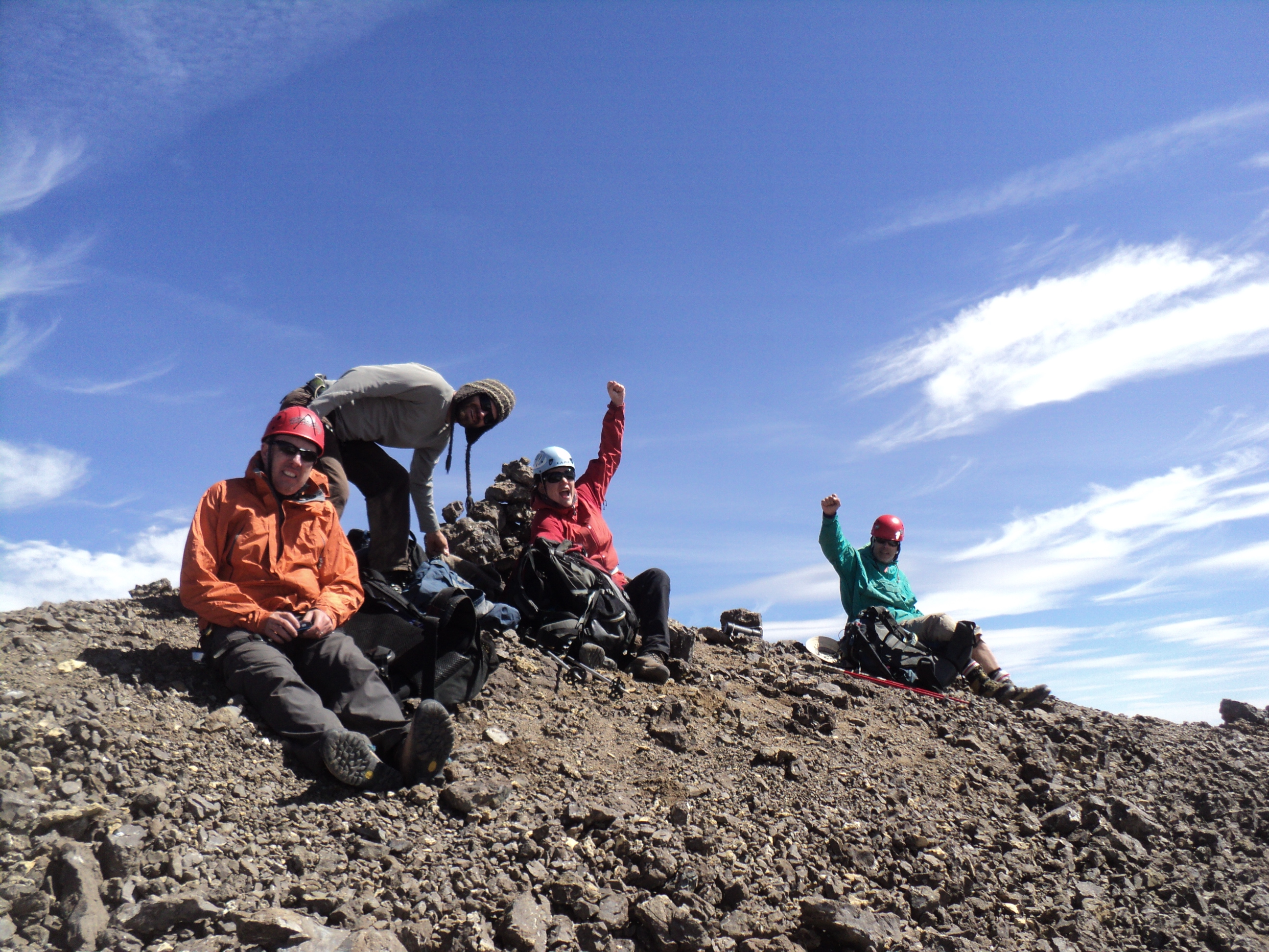
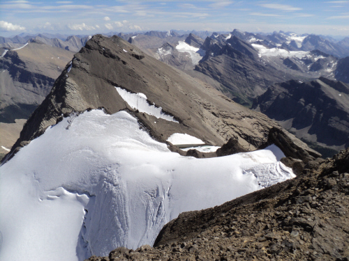
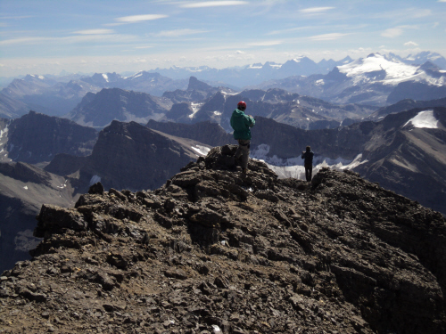
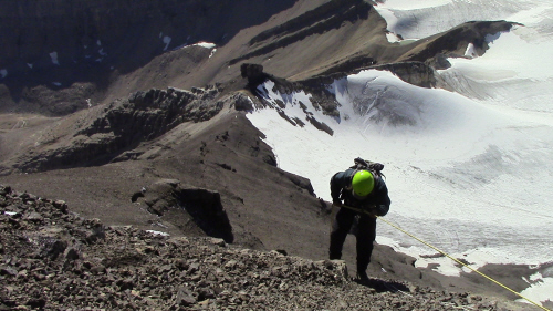
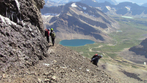
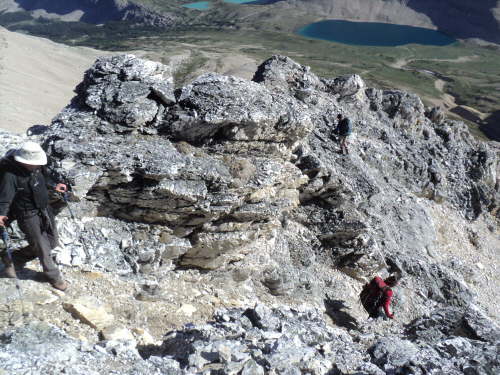
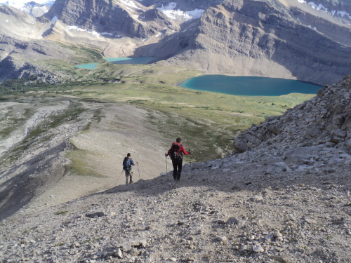
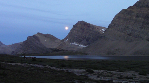
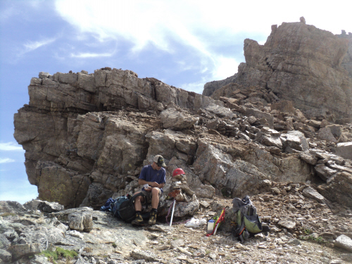
Ascent: We woke as the sun beamed down around us; today was a casual day, we had all day to ascend Willingdon and return to camp. Fab and I liked that, a mellow pace was welcome; we left shortly after 10 AM. We hiked to the ridge and easy scrambling along the ridge led us to BART (big ass rock thing). We followed a trail, that's a testament of this ascent's popularity. The sky had gotten hazy, it almost looked like it could rain but as we neared the upper mountain, the clouds dissipated. We had lunch on a broad scree saddle next to BART before continuing on the path to the crux rockband. The ledge leading to the short crux is wide. The crux itself is toughest when cresting the rockband on loose rubble and downsloping slab; factoring the exposure, I climbed on belay. A piton and some nuts make up an anchor, two ropes span this section but Jay brought his own short rope. The final scree slope quickly took us to the cairn. We hung out for a while and enjoyed the view on this fine summer day. On descent, we rappelled the crux and carried on to the saddle where we had lunch earlier; we sat down for more food and a rock chucking session. Back at camp, we hung out watching the sunset and the full moon rising; good times.
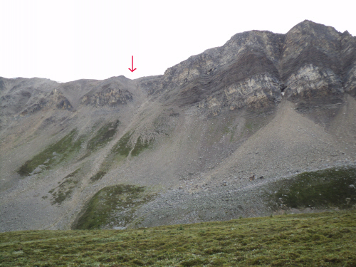
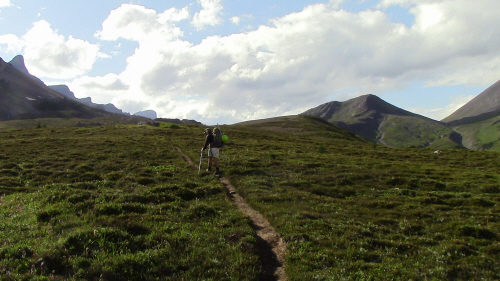
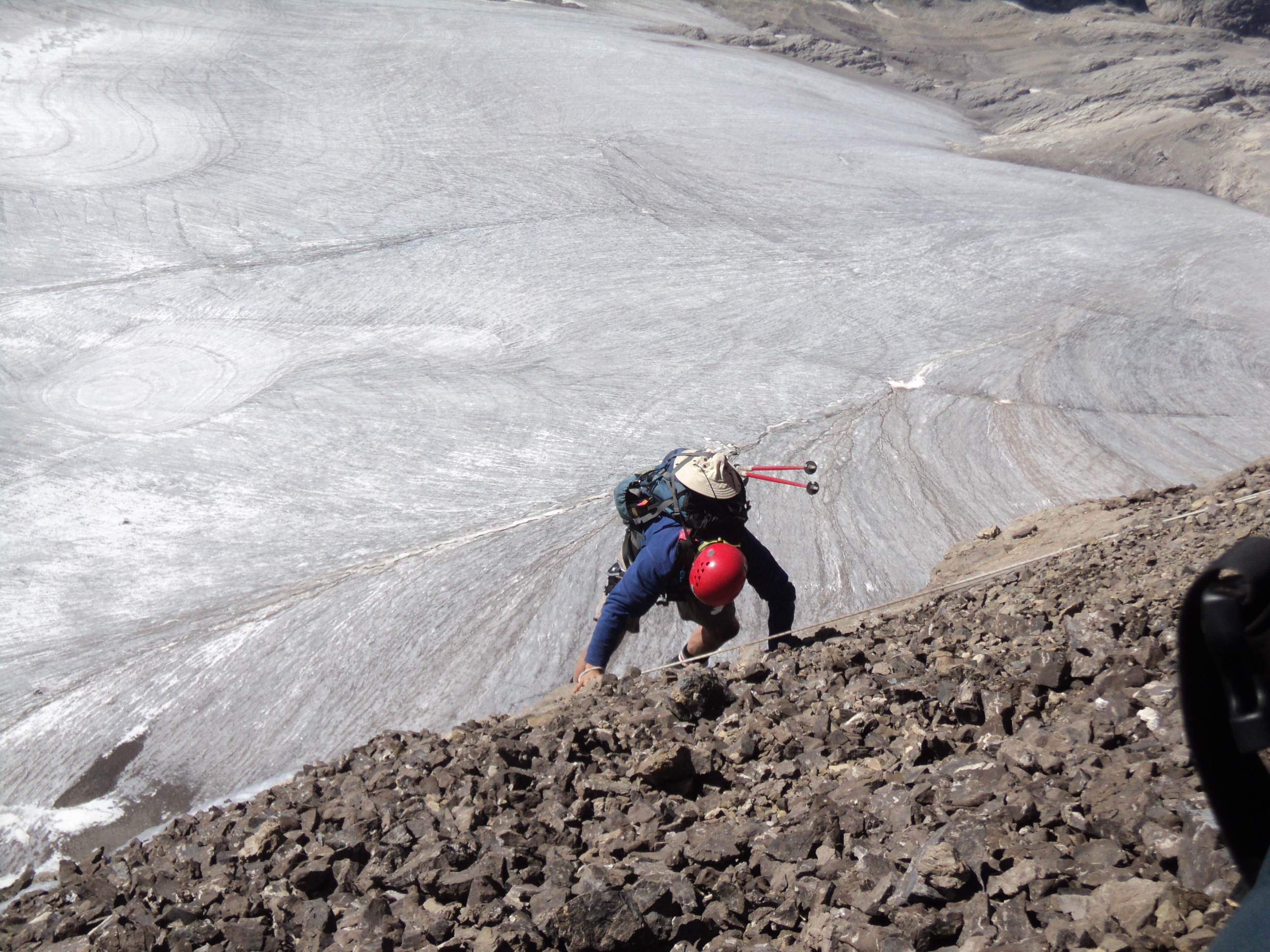
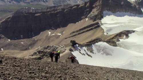
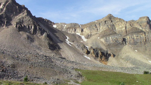
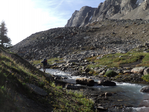
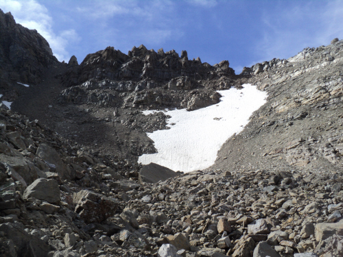
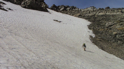
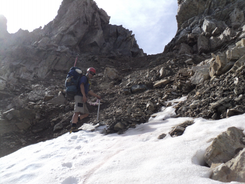
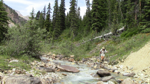
Exit (7.5 hours): Our plan was to leave camp early so we could be at the kennel before 5 PM. We headed out towards Quartzite Col under a sunny sky and reached the boulder field below the col in good time. Climbing the steep slope that follows is tedious; luckily, we found a trail. Higher up, we decided to put on our crampons and ascend the steep snow slope; a scree slope, further climber's left, appeared to be an alternative. The grade increased as we ascended the snow slope; I made sure to plunge my axe in deep. I was glad to reach dry ground, we had lunch at the col and celebrated the fact that it was all downhill from here. We followed faint trails to the meadow below, travelling wasn't bad. Lower down, along the creek, we encountered bits of trail and light bushwhacking. We were thrilled to step on the Mosquito Creek trail. We took a 20 minute break before racing back down to the car. It took us 7.5 hours to return via Quartzite, shaving only 15 minutes off our approach time from Mosquito Pass... We made it to the kennel with 15 minutes to spare! This was an awesome trip start to end; wouldn't change any of it!