| Ref: Bob
Spirko's Road not taken
|
|
|
|
|
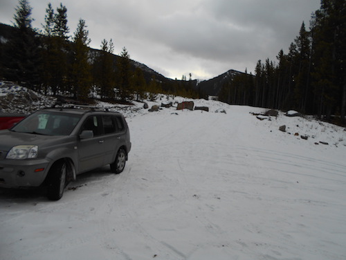
Trailhead as seen
from the Oldman FSR.
|
| Scramble:
4.75 up to North Peak. Continuing with this fall's theme
in good fashion, I decided to drive down to the southern part of the
Kananaskis and
spend the weekend. I left Golden in the afternoon; the snowy
drive through Highwood Pass didn't compare to road 940 south of Gunnery
Mountain. There was at least 15 cm of
fresh snow on
the ground, I started reconsidering how to approach tomorrow's
objective. As it got dark, I
decided to spend
the night at Cataract Creek's staging area. I
studied Google Earth (which I had cached on my laptop) to find
optional routes in case the drive to the trailhead on the Oldman FSR
was not feasible. The following morning, I headed out past
Livingstone-Coffin in diminishing snow; by the time I reached the
Oldman FRS, there was almost no snow. That access road is
well-indicated
and popular, I had no trouble making it to the trailhead. I carried a
heavy pack, I was planning to stay the night at
treeline to catch the sunset and sunrise. I followed the exploration
trail to a clearing, the
cutline is obvious but I decided to follow the old road climber's
right. That road is overgrown in places, the cutline joins it higher
up and seems to be a better option. I was following a group's
footprints. Unsure of where they were going, I took the time to verify
my position at numerous intersections; a section in a drainage was
particularly confusing, the road seemed to disappear among young
trees. I followed the meandering footprints curious of where they
would lead me, it looked like the other group "worked it" to locate the
old road further. I carried on a bit and checked my position again,
by then I was pretty sure that the group ahead was also going to Twin
Peaks. At treeline, I unloaded my camping gear before continuing to
South Peak. When I crested atop the approach ridge, I noticed the group
on South Peak; as I plodded to the ascent slopes, they walked along the
connecting ridge to North Peak. When I reached the lower summit, they
reached the taller one. While I made my
way across the connecting ridge to ascend North Peak, the large group
passed by me on the traverse below the ridge. We exchanged waves and I
carried on to the
top of North Peak. The wind was bearable, I enjoyed a decent break
before heading down. I followed the traverse to regain the approach
ridge after which I retrieved my gear and found a camping spot nettled
in the trees. I thoroughly enjoyed the fine sunset
before retiring for the night in my bivy bag. The following morning I
was treated to a beautiful sunrise. This trip was a delightful
experience, I got to witness Mother Nature's beauty in solitude, well
almost in solitude....
|
|
 |
|
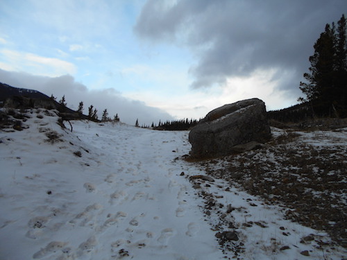
On
the right track!
|
|
 |
|
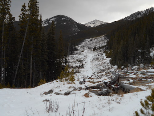
I
recognize this narrow swath with the southern peak of Twin Peaks in the
background.
|
|
 |
|
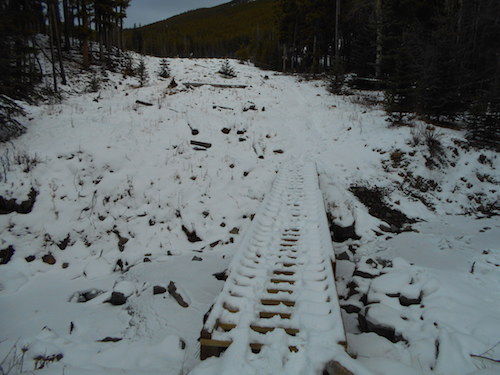
A
little bridge precedes the clearing.
|
|
|
|
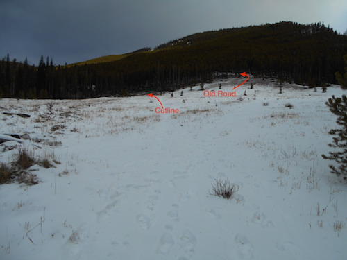
The
clearing.
|
|
 |
|
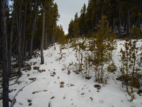
The
old road is good at first but gets overgrown before the cutline joins
it.
|
|
 |
|
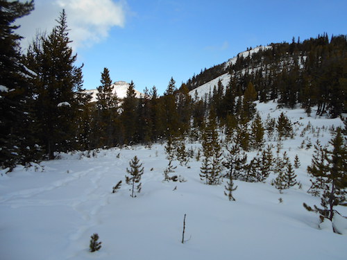
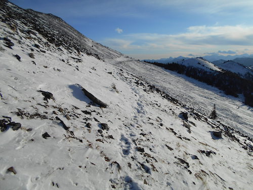
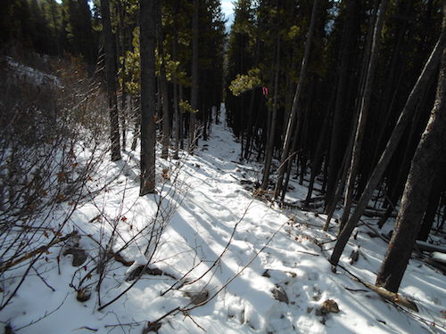
After
several intersections and "position checks", I see the objective ahead.
|
|
 |
|
|
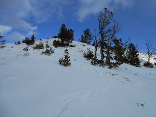
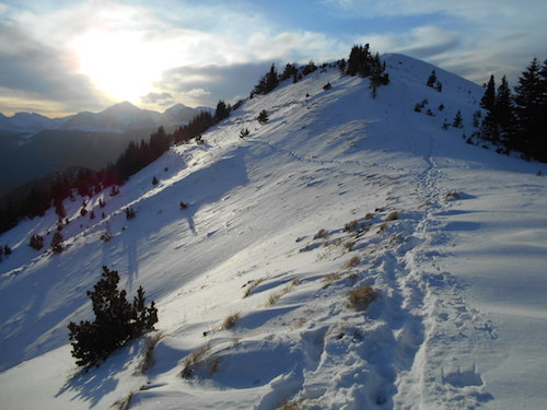
Treeline
is where I'll spend the night.
|
|
|
 |
|
|
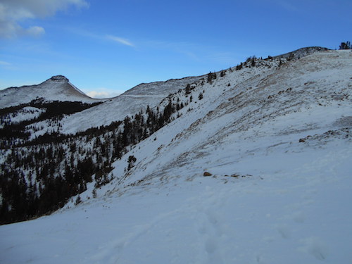
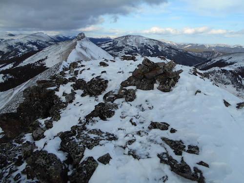
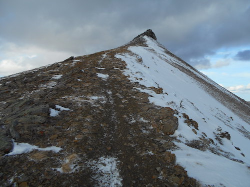
The
higher northern peak on the left and the southern peak on the right.
|
|
|
 |
|
|
The
approach ridge naturally leads to the lower peak.
|
|
|
 |
|
|
Ascending
South Peak first.
|
|
|
 |
|
|
Looking
back along the approach ridge, the Continental Divide is engulfed.
|
|
|
 |
|
|
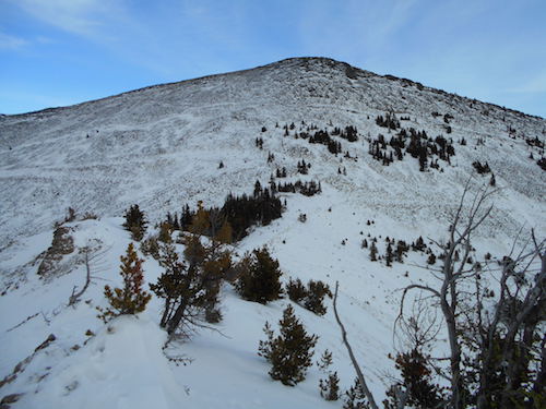
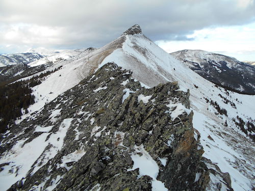
North
Peak from the top of South Peak.
|
|
|
 |
|
|
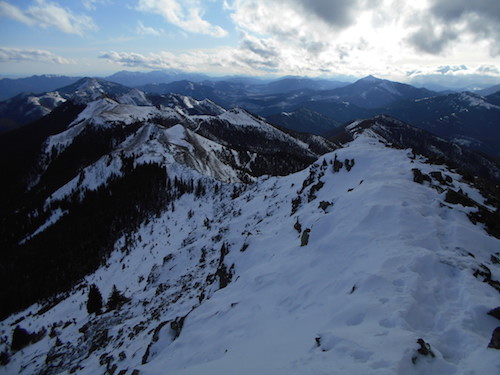
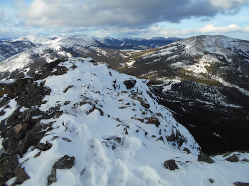
View
south along Cabin Ridge with Sugarloaf Lookout (right of center).
|
|
|
 |
|
|
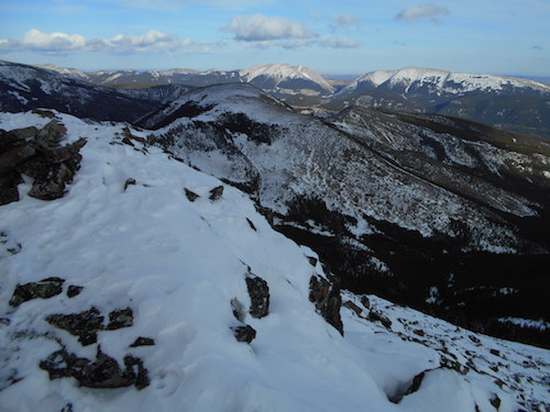
Mount
Livingstone and Coffin Mountain to the north-east.
|
|
|
 |
|
|
Travelling
on the connecting ridge towards the second peak.
|
|
|
 |
|
|
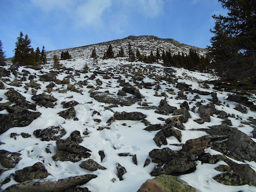
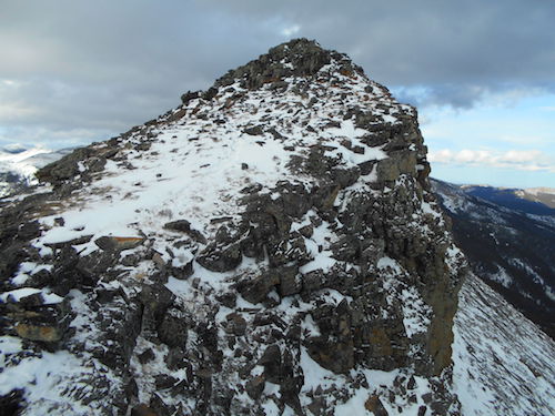
A
nice trail leads to the summit block.
|
|
|
 |
|
|
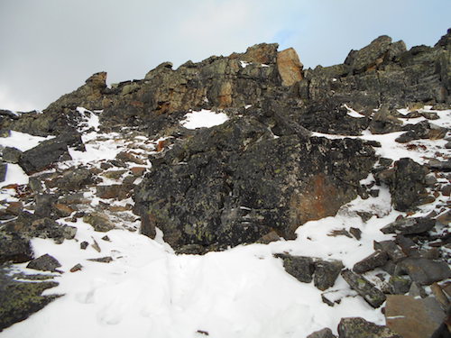
The
scramble is short and straightforward. |
|
|
 |
|
|
Summit
ahead.
|
|
|
 |
|
|
Monad
Peak (left of center) to the north.
|
|
|
 |
|
|
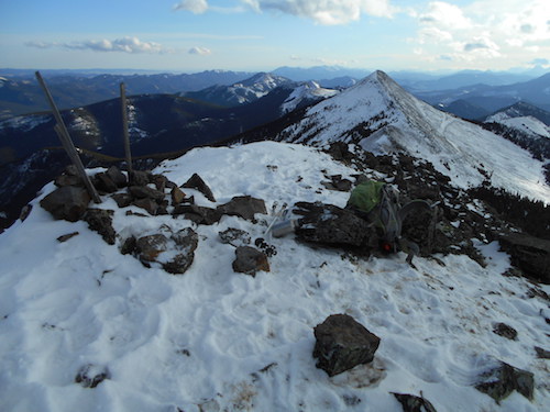
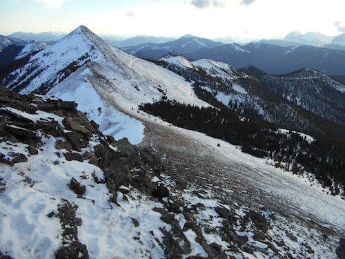
South
Peak from North Peak.
|
|
|
 |
|
|
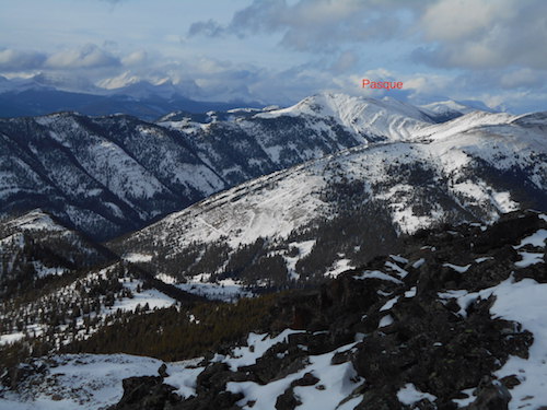
North-west,
beyond Pasque Mountain, is the High Rock Range which is part of the
southern Continental Ranges.
|
|
|
 |
|
|
Heading
down and aiming for the visible traverse.
|
|
|
 |
|
|
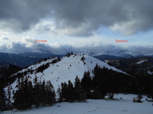
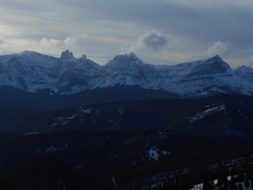
To
the west, The Elevators are very distinctive.
|
|
|
 |
|
|
On
the traverse.
|
|
|
 |
|
|
Backtracking
on the approach ridge.
|
|
|
 |
|
|
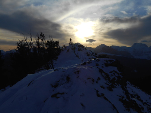
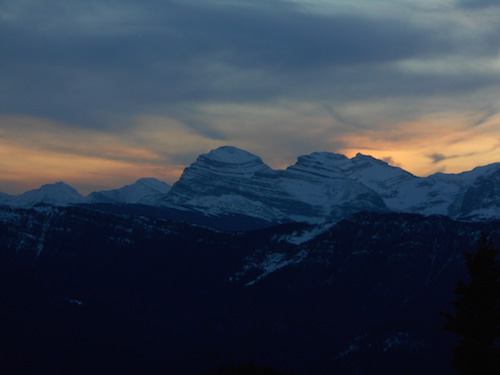
Awesome
sights as the sun sets.
|
|
|
 |
|
|
The
Elevators are captivating.
|
|
|
 |
|
|
South-western
view with Mount Gould. |
|
|
 |
|
|
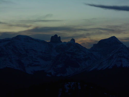
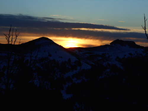
The
following morning I awaken to a beautiful sunrise over Cabin Ridge.
|
|
|
 |
|
|
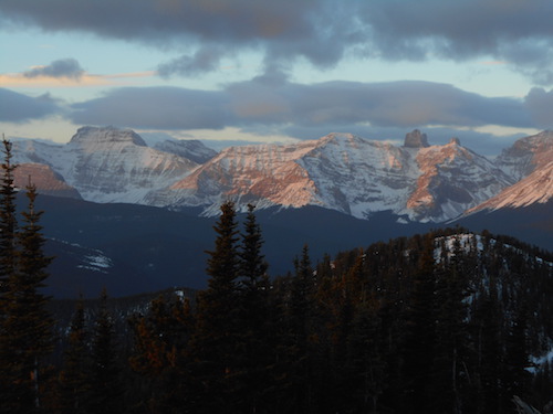
Alpenglow
as the sun rises.
|
|
|
 |
|
|
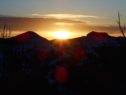
More
of the sunrise.
|
|
|
 |
|
|
I
chose the straightforward cutline on my way down.
|
|
|
 |
|
|
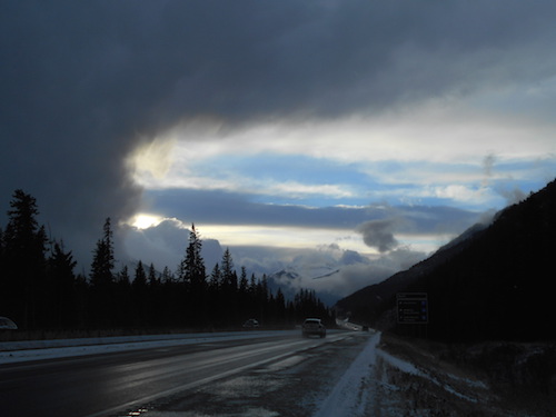
This
picture was taken near Banff on the drive back.
|
| Back
to home page |
|
|