There
are five approaches referenced on Bivouac; all but one
are from the west and are multi-day trips. The eastern access via the
Susap FSR described by Stephen Skog (on Bivouac) mentions an ascent of
the narrow north-east ridge and the broad east ridge; he spent quite some time looking for a trail in upper Shoudy Creek to no
avail. The route I will describe is similar to his. Firstly, I must warn that the Susap
FSR is steep and narrow with severe drop-offs; it is very committing with
nearly no places for vehicles to cross.
From
Crowsnest Highway, find Chopaka Road, 022398, and cross the bridge.
Continue to Chopaka Road N, 008393 and turn right; after 200 meters,
turn left onto Susap service road that isn't marked, 007394. Follow the
steep service road; when the grade eases, look for an intersection,
989398, and turn left. Follow this road keeping right at 985384; we
parked at
a switchback, 969377 but it is possible to continue a bit further
963377. The crude trail begins from there, it isn't well defined;
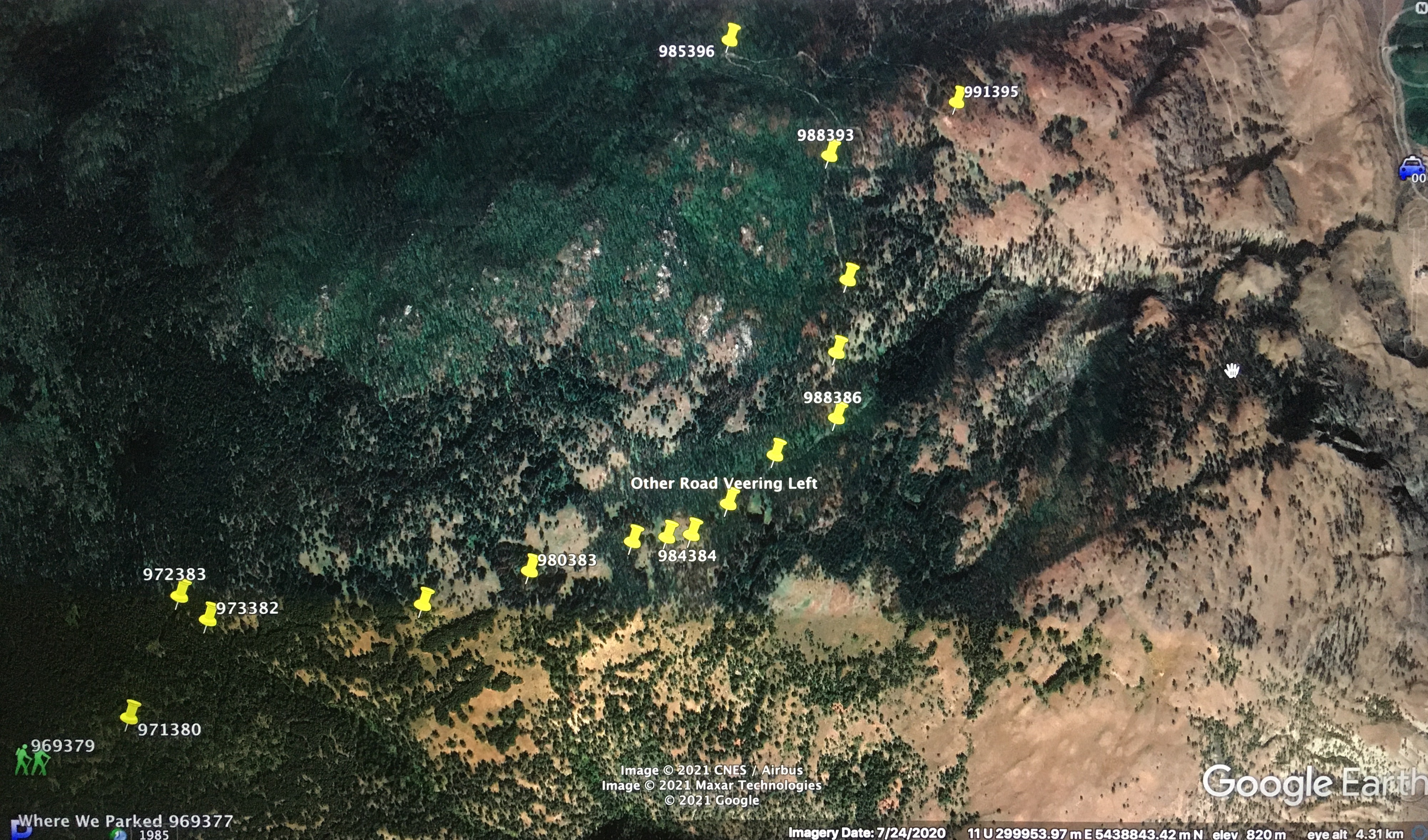
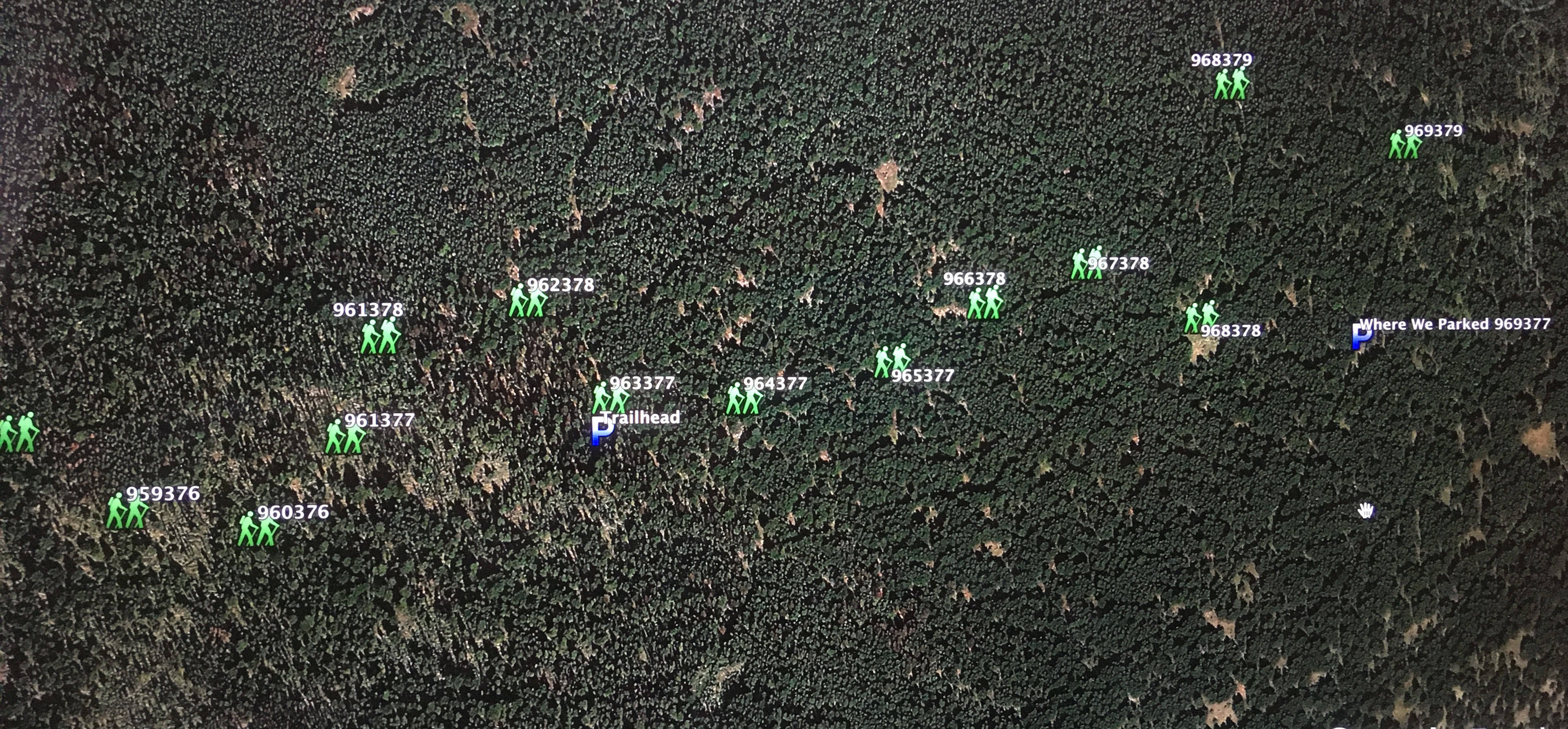
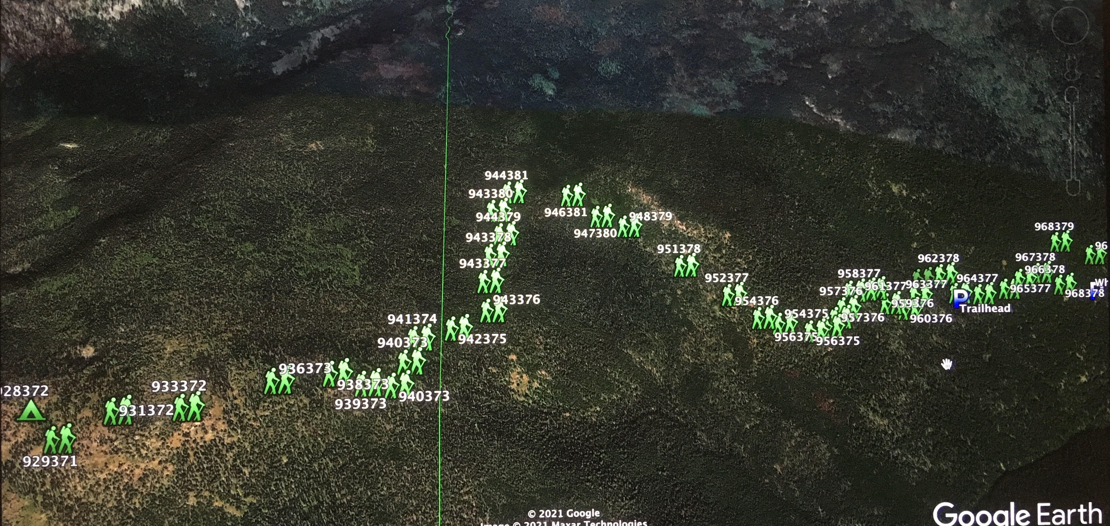
look for blazed trees and cut deadfall. I've included
pictures of Google Earth with waypoints to help with finding the
elusive crude trail. Once in the sub-alpine, the
route to the
summit is straightforward.
NOTE: Research reveals that the Susap FSR can be gated
and may require permission from the Lower Similkameen Band; visit
this link: http://www.lsib.net/
|
|
|
|
Susap-Shoudy Creek FSR.
|
|
|
|
Location of the trailhead.
|
|
 |
|
|
Waypoints to facilitate following the crude trail.
|
Scramble:
RT 11.5; 6.5 up. Snowy Mountain is a
massive peak that rises 2000
meters from the Similkameen Valley; it is the eastmost summit of the
Canadian Cascades. Its bulk is stately; from the summit of Apex
Mountain, it caught our attention. Milan mentioned he wished to go on
a backpacking trip there with his kids. A couple of weeks after, he
planned a reconnaissance of the access via Susap FSR. The service road
didn't
look promising; after walking the first stretch, Milan said it was
drivable and that he would commit to it when we would return. Three
weeks passed before we set out towards Keremeos to climb Snowy
Mountain. We got onto the service road quite late; after about an hour and a
half, we parked the truck at a switchback. It was 4 PM when we started
hiking. We didn't follow the road because it veered in the wrong
direction and ended (according to my GPS); in hindsight, we should
have because it continues for a fair distance and leads to the crude
trail we stumbled on. Instead, we bushwhacked in a climbing traverse
and eventually met with the trail. The crude trail handrails, at some
distance, Shoudy
Creek on the north side. It meanders through charred
trees to a saddle before climbing the broad eastern ridge. The recent
2018 fire has rendered the forest floor void of undergrowth, granting
enjoyable hiking. At times, the trail may be difficult to locate and
follow. However, if the path is lost momentarily, open forest
facilitates bushwhacking. We hiked at a pleasant pace and stopped
several times. Higher up on the ridge, we veered off the trail to
follow the ridge proper. Once we sighted our objective, we picked
a flat area sheltered from the wind and set up our tent. We made a fire
and ate dinner as dusk fell upon us; it was an early night. The
following day, we awoke fairly early, made a fire, and had breakfast;
we
started hiking after that. The gradual ascent is pleasant,
granting beautiful scenery along the way. The unstable weather included
rain in the forecast for the late afternoon; low-lying clouds engulfed
mountain
tops. We easily made it to the top, where we enjoyed a fine summit stay
despite reduced views. Following a casual hike back to our camp, we
packed up and started descending; we hoped to reach the truck before
rainfall. The trail was easy to find and follow for the most part. We
stayed on it until it connected with the road. We drove down the mountain as
it started to rain heavily; our timing
was impeccable. We were all satisfied with this adventure. We
agreed that it grants amazing views and pleasant hiking; it's also
possible
to execute this trip in one long day. It is safe
to say that the crux is the drive to the trailhead; the
approach on the service road is long and committing.
|
|
 |
|
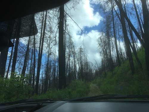
The steep Susap FSR gains height
rapidly.
|
|
|
|
The road is
narrow with very few places to cross other vehicles.
|
|
 |
|
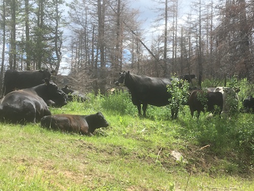
Mountain
cows.
|
|
 |
|
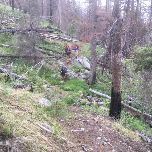
Easy
bushwhacking at the start of our hike.
|
|
|
|
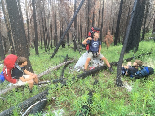
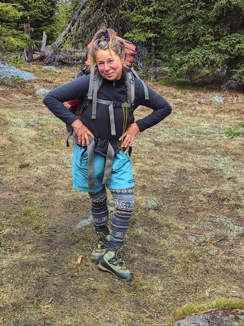
Taking one
of many brief breaks.
|
|
|
|
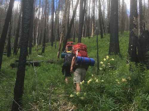
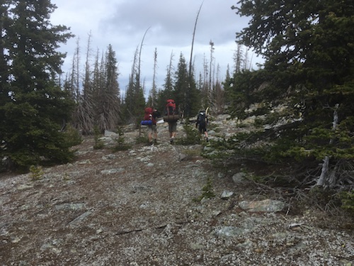
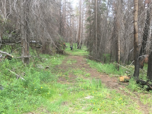
|
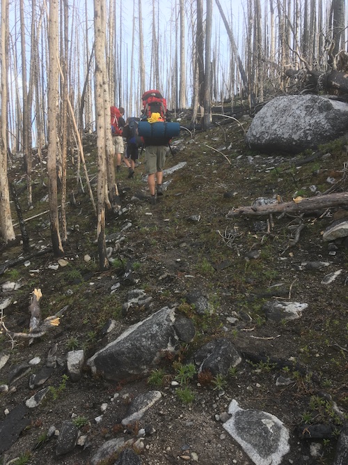
Taking advantage of a crude trail.
|
|
|
 |
|
|
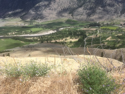
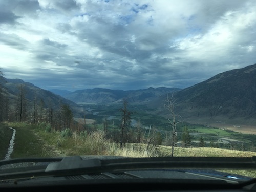
Looking
across the Similkameen Valley towards Mount Kobau.
|
|
|
|
|
|
Leaving the
trail to hike along the ridge proper.
|
|
|
 |
|
|
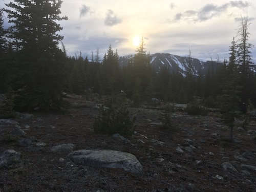
The
sun is settting as the mountain comes into view.
|
|
|
 |
|
|
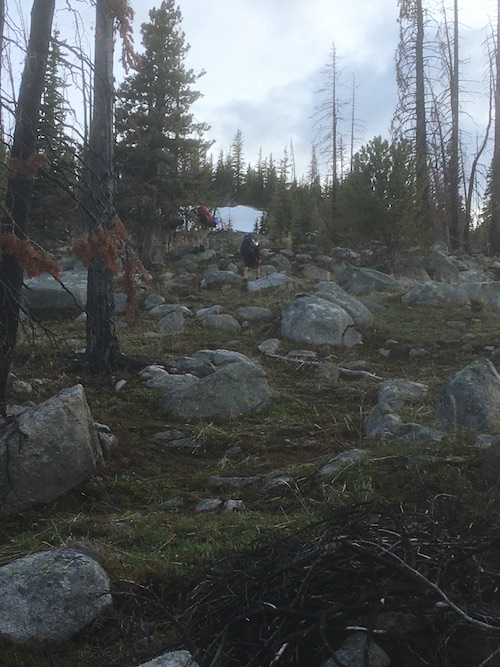
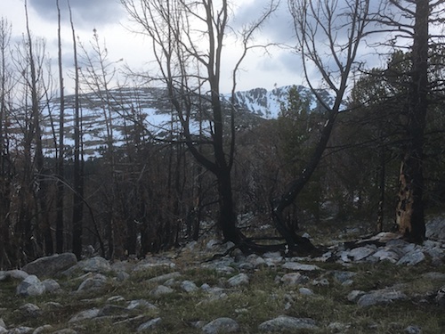
We get a
glimpse of the ascent ridge and the objective.
|
|
|
 |
|
|
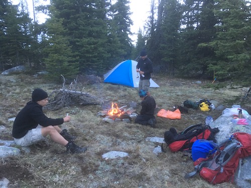
Enjoying a
nice evening in the wild.
|
|
|
 |
|
|
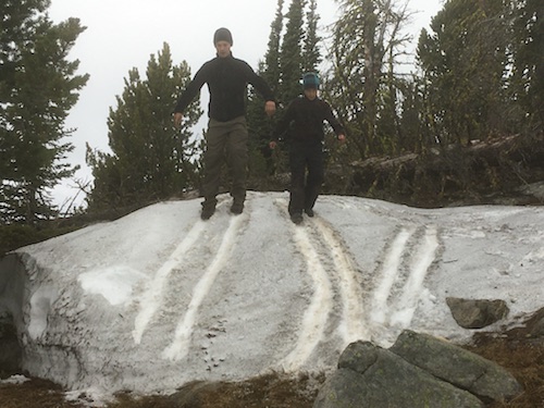
Boot-skiing
competition.
|
|
|
 |
|
|
Farfeneugen!!
Picture courtesy of Milan Kubik.
|
|
|
 |
|
|
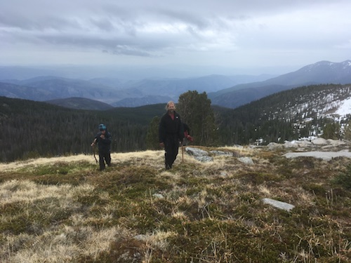
The weather
isn't perfect but the hike is quite delightful.
|
|
|
 |
|
|
The eastern view as we gain height gradually.
|
|
|
 |
|
|
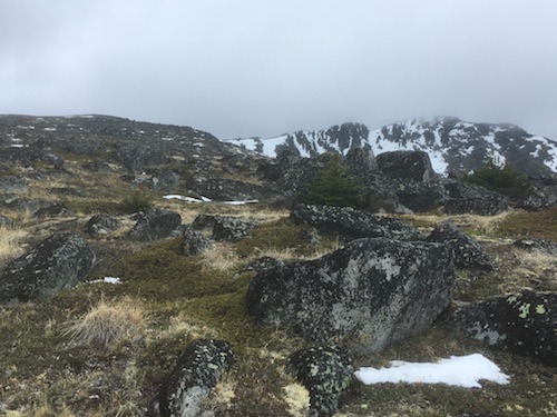
The vast
ridge grants a pleasant walk on grasses and rock.
|
|
|
 |
|
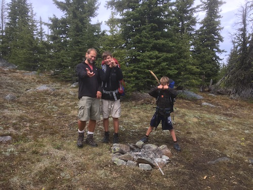
|
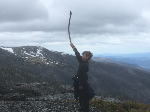
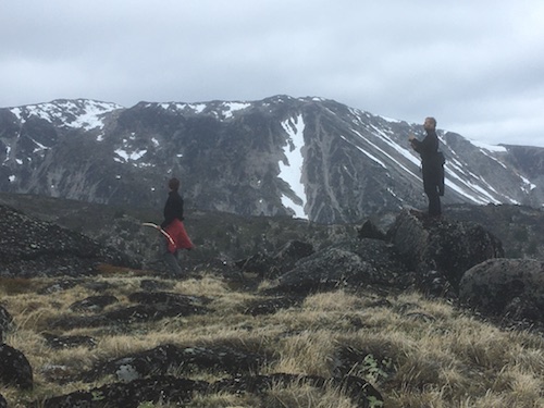
Warrior or
antenna?
|
|
|
 |
|
|
Looking at
Snowy's north-east ridge.
|
|
|
 |
|
|
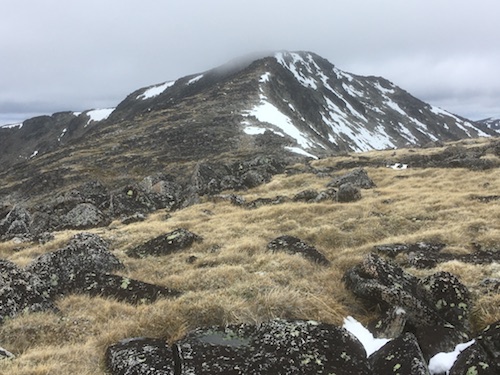
The summit
is shrouded in low-lying cloud.
|
|
|
 |
|
|
Cathedral
Provincial Park beyond Snowy's south-west ridge.
|
|
|
 |
|
|
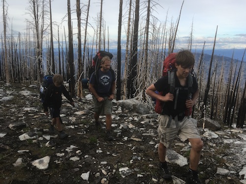
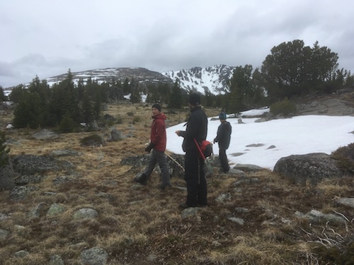
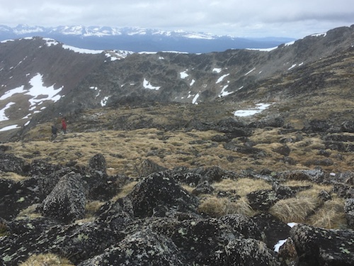
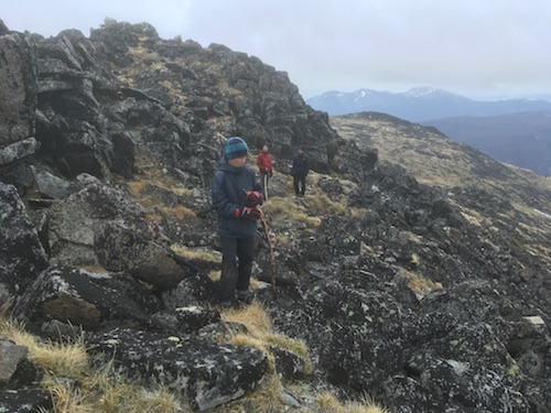
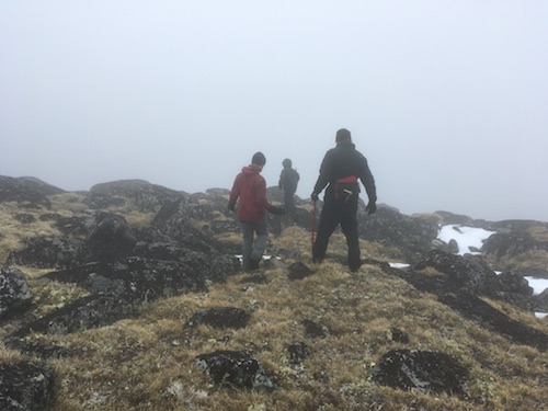
Typical
terrain on the upper mountain.
|
|
|
 |
|
|
Looking back.
|
|
|
 |
|
|
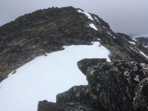
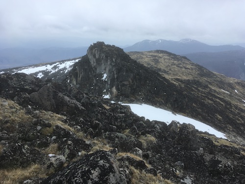
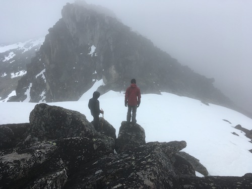
A notch
precedes the summit.
|
|
|
 |
|
|
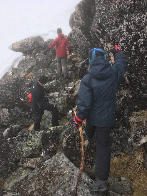
Descending
the notch.
|
|
|
 |
|
|
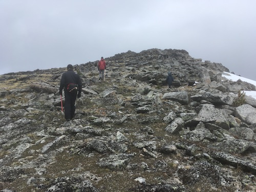
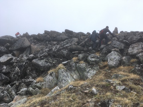
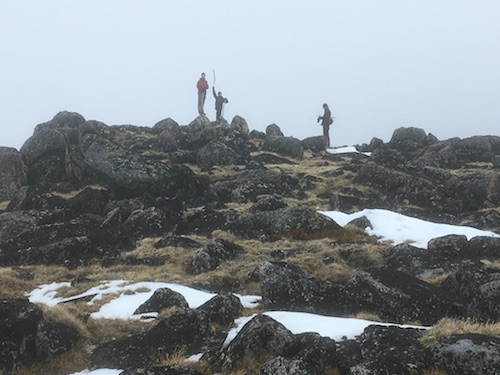
Scrambling
to the summit.
|
|
|
 |
|
|
Looking back
towards Chopaka Mountain in the US.
|
|
|
 |
|
|
On the
summit!
|
|
|
 |
|
|
Great feat
for the kids.
|
|
|
 |
|
|
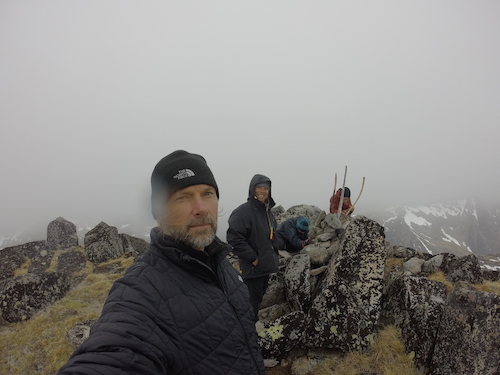
Summit
selfie.
Picture courtesy of Milan Kubik.
|
|
|
 |
|
|
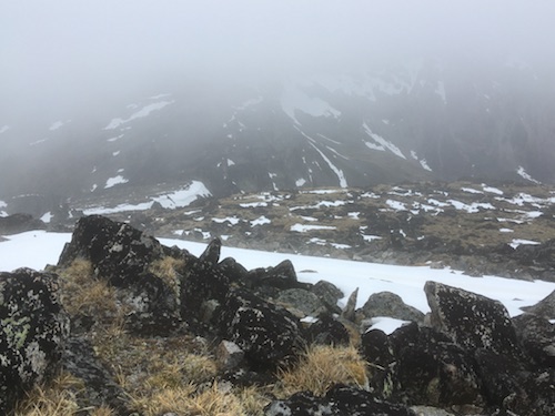
Obscured
northern view.
|
|
|
 |
|
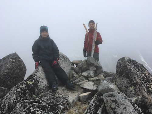
|
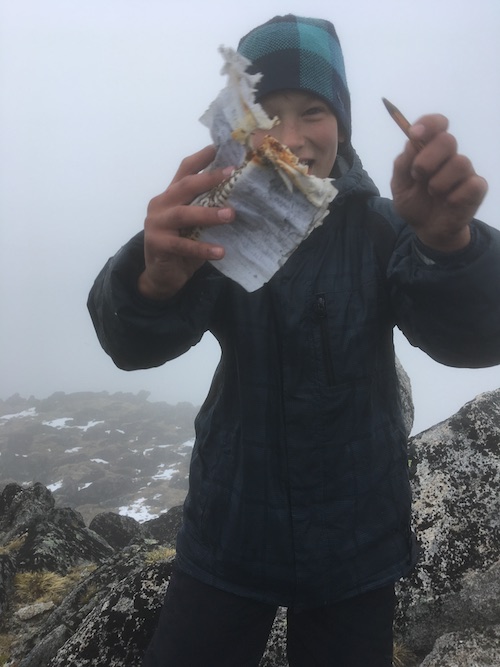
Thrilled to have found the summit register.
|
|
|
 |
|
|
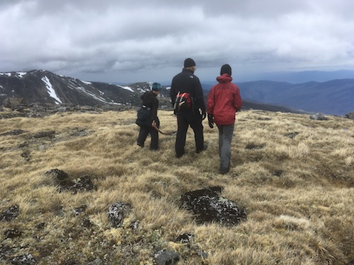
Leaving the
top.
|
|
|
 |
|
|
Back at the
notch.
|
|
|
 |
|
|
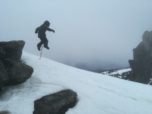
Leaping to
the snow.
|
|
|
 |
|
|
Backtracking.
|
|
|
 |
|
|
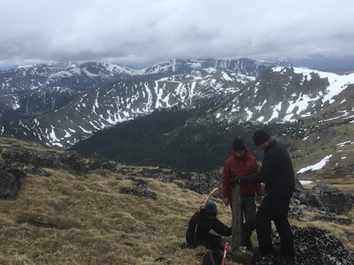
Erecting a
beam with carved initials on it.
|
|
|
 |
|
|
Enjoying a
casual descent.
|
|
|
 |
|
|
Thumbs up!
|
|
|
 |
|
|
Heading down
before the weather deteriorates.
|
|
|
 |
|
|
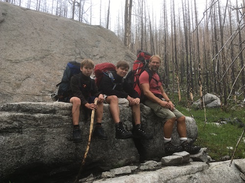
Shoftly
after the saddle, we stopped on this giant couch.
|
|
|
 |
|
|
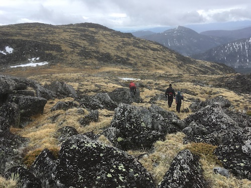
Resuming our
descent on the crude trail.
|
|
|
 |
|
|
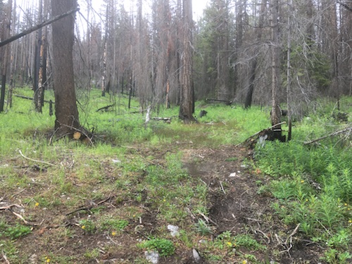
The trail connects with the road.
|
|
|
 |
|
|
Looking
back, the trail is hard to distinguish.
|
|
|
 |
|
|
Great
timing, it starts to rain on the drive down the mountain.
|
|
|
 |
|
|
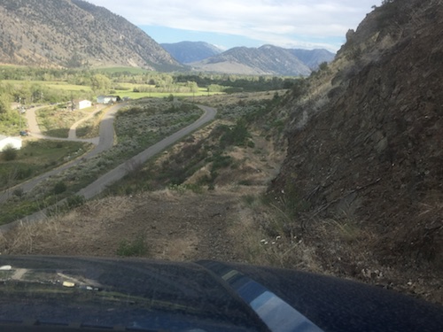
Susap FSR is
steep and narrow with significant drop-offs.
|
| Back
to home page |
|
|