Ascent: -North ridge class 1
Descent: -South-west ridge class 2
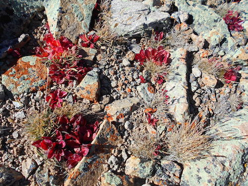
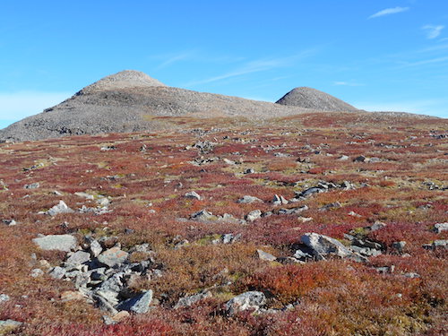
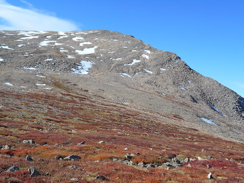
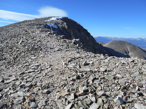
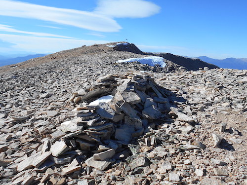
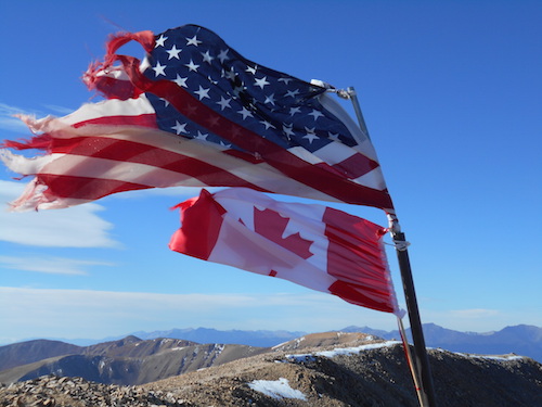
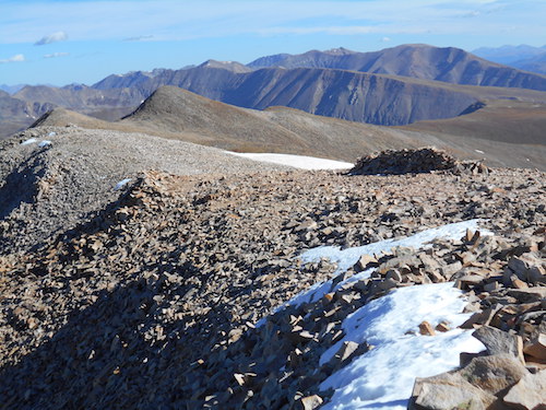
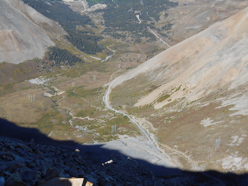
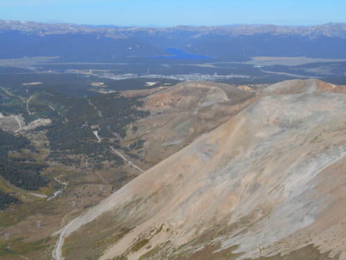
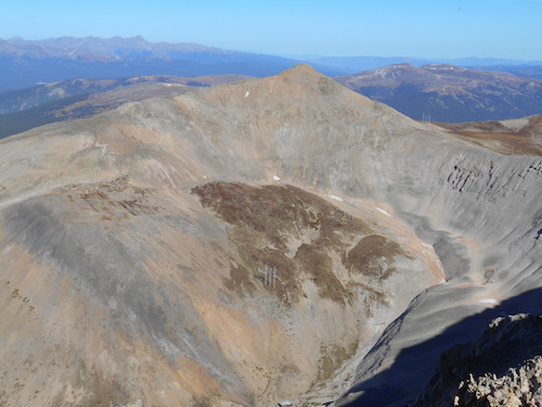
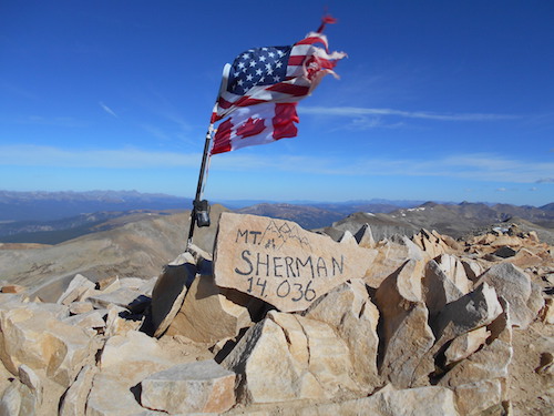
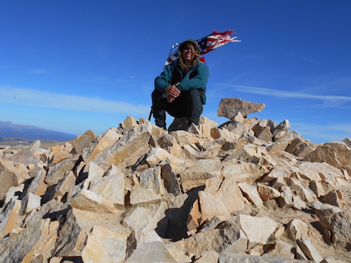
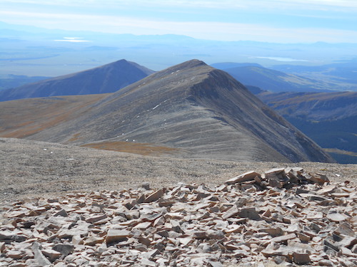
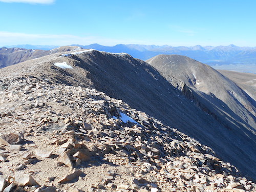
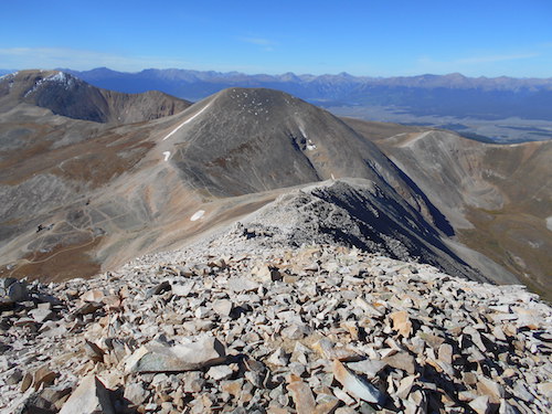
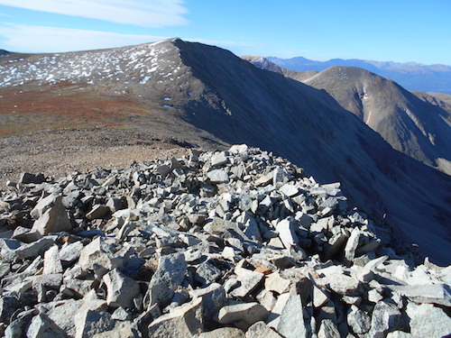
Hike: RT 7.0 (includes Dyer Mountain, Gemini Peak and Mount Sheridan); 45 minutes up from Gemini Peak. The long connecting meadow-like ridge from Gemini Peak offered an absolutely delightful hike. I enjoyed this beautiful day, the serenity of my surroundings and got lost in my thoughts. I climbed the gentle grade to the summit of Sherman without noticing any effort, I embraced the solitude and felt free. When I reached the summit of the extremely popular 14er, I was elated to have it to myself. I dropped my pack, looked around and took a deep breath before going through my summit rituals. There was a nicely painted rock on the cairn, it indicated the name and altitude of the mountain; there was also a pole with a US flag flapping proudly in the wind. I took my Canadian flag and strung it to the pole below the US flag; to me, this didn't just represent being patriotic but it also depicted unity. The wind stretched both flags as I took pictures, this was a good day! I ate some food and enjoyed the sights staying for quite some time before considering the final stretch of this loop. Before leaving, I took down my flag and reminisced about previous trips in these beautiful lofty Colorado mountains; it was just that kinda day. I started heading down the ridge, still battered by wind and still contemplative. It wasn't too long before I started coming across people on their way up to the summit. Most were focused on the climb and offered a brief greeting as they went up. The trail was easy to follow and granted a great view down Fourmile Creek and Hilltop Mine; seems like a lot of people were coming from that eastern approach. I reached the Sherman-Sheridan Col in good time and I simply continued towards the last objective of this fabulous 4-peak circuit.