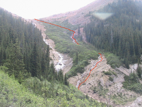
| Head
towards the Blaeberry River and up Redburn FSR, 018021. After the 6
marker the road becomes rougher with several washouts to cross; a 4x4
or ATV is necessary from that point. There's a major intersection
about half way between the 7 and 8 markers, take the right branch. We
were unable to cross the fourth washout, 079982, and ended up
backtracking a little to turn around and park. We walked to just before
the bridge, 083976, and bushwhacked through deadfall up the cutblock
climber's left of the drainage. Higher up we came across an old
overgrown road (slightly visible on Google Earth) which happens to
traverse towards the draw between McBeath and Redburn. We aimed for
this road upon return to avoid the deadfall. After losing the road we
crossed an aldery avalanche slope and came out of the trees. The ascent
drainage was now in sight. We crossed the creek on a snow bridge and
ascended it climber's right. Near bluffs we
traversed left towards the main drainage (through nasty shrubs).
From there it was straightforward and quite enjoyable. We hiked into
the draw, 103979 and climbed up the furthest slope into the back of the
draw. Eventually we ended up on the north ridge. Fab and Link set up
there, 200 m. from the top. I climbed further up on the ridge quite
aware of the big overhanging cornice above me. I then quickly traversed
to the summit ridge to the right of a small gendarme, fairly close to
the top. The actual summit is about thirty feet from what appeared to
be the top, 111968, not much of a cairn on it. It is easily attained
but it is not very spacious, it only stands 3 m. taller than the
southern summit. Coming down we made sure to start traversing at the
right place in the drainage (before entering back in the forest) in
order to find that old road; Fab built a big cairn in the drainage and
flagged a tree pink and green. Aim for 091977 and 088977 which is where
we met up with the road. The road led us back to the bridge, 083976.
The beginning of the road is not obvious; at the bridge, it climbs up
(looks like an eroded slope) before veering left and it is very
overgrown. |
|
 |
|
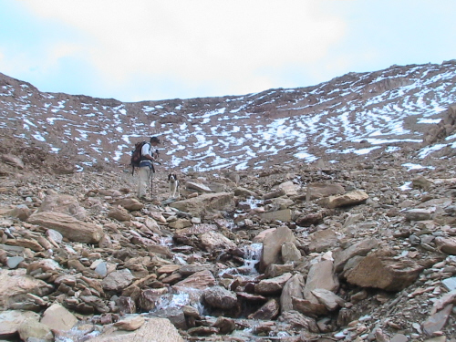
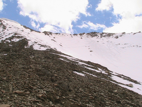
Coming out of the
trees, the ascent drainage. |
|
 |
|
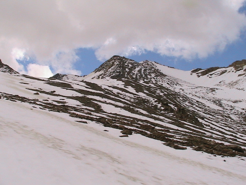
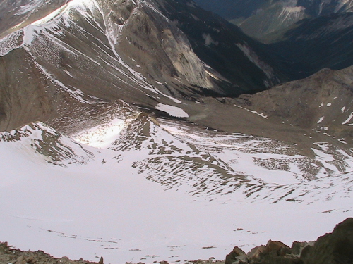
Above the ascent drainage
into the draw. |
|
 |
|
In the back of the
draw we proceeded left and around. |
|
 |
|
|
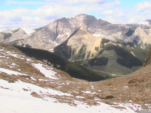
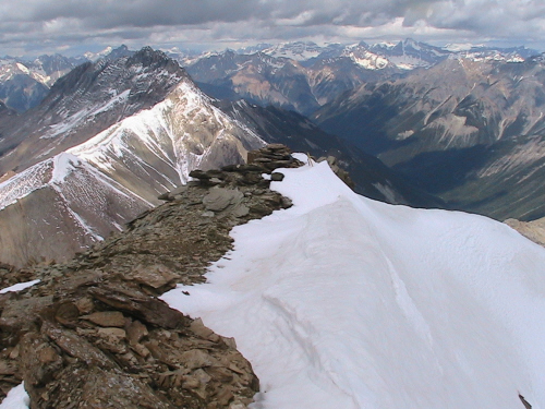
Looking back, across
is Hedberg Peak. |
| Scramble: RT 8.5; 4.75 up.
Awesome to have been able to make it, we had our doubts when we saw the
washouts on the road. The crawl up the cutblock through deadfall
defied optimism. We kept at it and eventually came out of the trees
near the ascent drainage. From there it was more enjoyable, a pleasant
hike to the
north ridge. Lincoln did well on the snow but was not a good candidate
for the last part; so Fab remained with the pooch. He had a good snooze
while I trudged to the top. |
|
 |
|
|
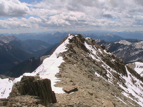
The traverse to the
summit ridge from the north ridge. Notice the cornice above left. |
|
|
 |
|
|
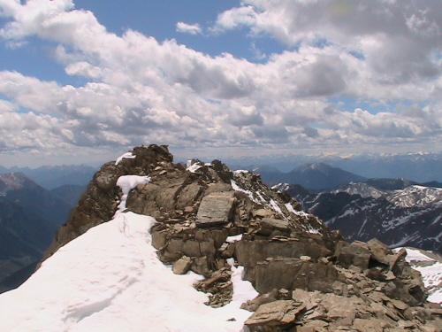
South summit from
the true summit. |
|
|
 |
|
|
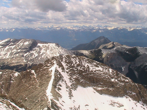
The ski hill across
the valley and Moberly Peak, right of center. |
|
|
 |
|
|
South-west ridge, a
possible ascent!? |
|
|
 |
|
|
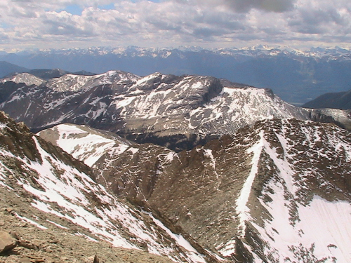
A better cairn on
the lower point we thought to be the top. Nice view of Redburn Peak,
left of center. |
|
|
 |
|
|
The true summit from
the small cairn on the lower point. |
|
|
 |
|
|
Looking back down on
the north ridge and Split Creek below. |
| Back
to home page |
|
|