| Ref: Drew
and Mark in the Canadian Rockies |
|
 |
|
|
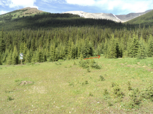
From the trail sign,
look for a big black gate (arrow). Past the gate, go left at the
immediate junction. |
| Scramble: RT 9.75; 4.75 up. Fab
and I
loved this trip. A well-worn trail along James Walker Creek takes you
beyond a little lake and above the headwall at the foot of the
objective. From there, above treeline, the trail dissipates. There are
two different ways up this summit; we decided to do a loop up the south
ridge and down the snow filled gully on the south-east face. The
conditions were perfect, even the weather... well almost. The ridge was
free of snow and the gully offered a great glissade
and quick descent. The landscape and scenery along this loop is
outstanding. Gaining the south ridge is a grunt but the rubble is not
as loose as we anticipated. Once at the crest, we were surprised by how
close the "rock step" was. It is apparently circumventable but we went
ahead and scrambled it for fun. The enjoyable
ridge walk gets narrow in one section, we steadied ourselves continuing
carefully. The drop on the sheer west side is impressive but not
worrisome as we didn't have to walk on the ridge crest. We reached the
summit under sunny sky. After signing the register and taking pictures,
we left the snowy summit for the south end of the peak to take a lunch
break. We sat comfortably sheltered from the breeze and enjoyed this
great viewpoint for nearly two hours. The descent was fast and amusing.
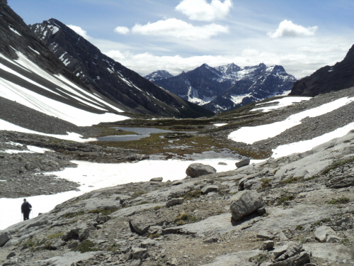
The basin is a beautiful place, we are glad to have seen it at
this time of the year. With minimal effort we found the trail and
continued our way down. |
|
 |
|
Near James Walker
Creek, 233247, we take the right fork. |
|
 |
|
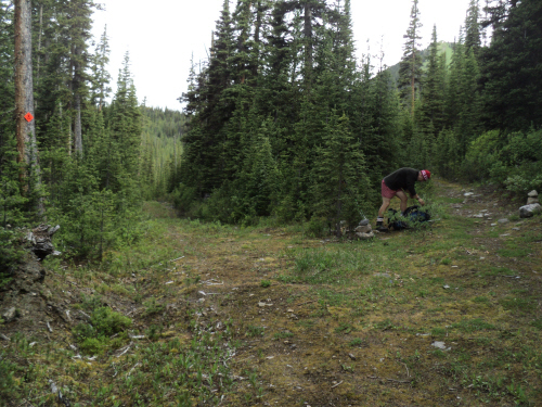
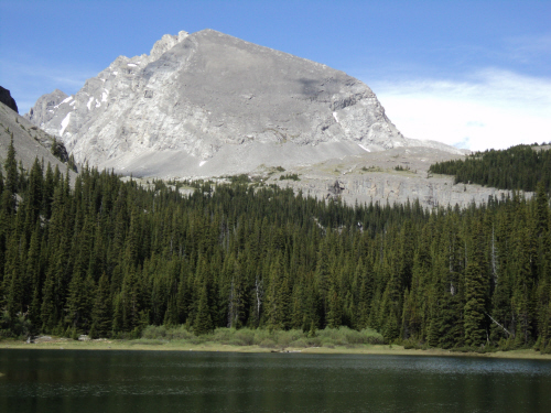
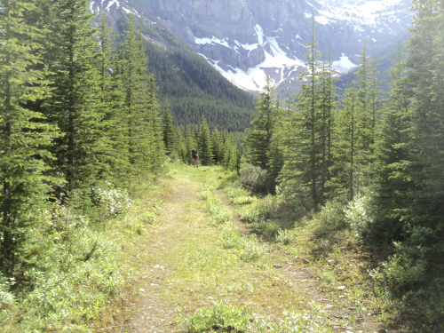
The old road turns
into a well-worn trail that leads to a small lake and beyond. |
|
 |
|
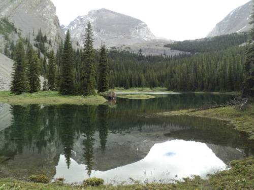
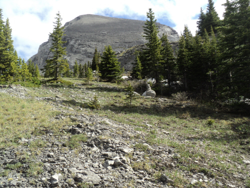
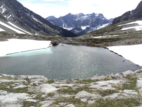
James Walker's south
ridge ahead. We hugged the right lakeshore to the inlet. |
|
 |
|
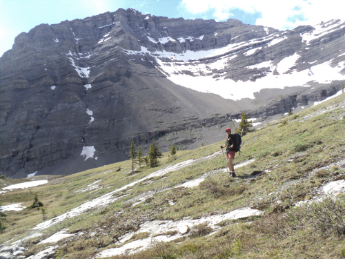
Almost at the top of
the headwall. |
|
 |
|
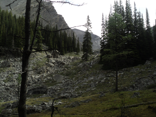
Above the headwall,
we are close to the talus slope. |
|
 |
|
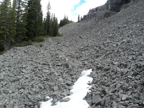
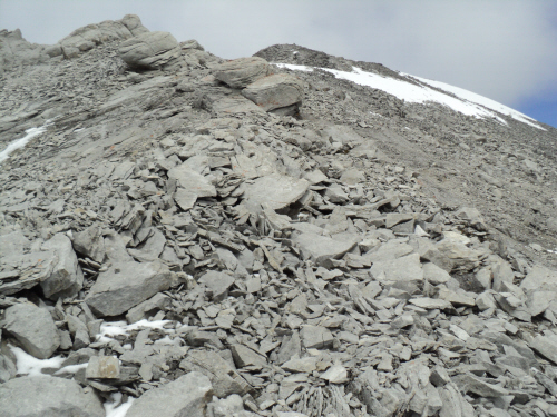
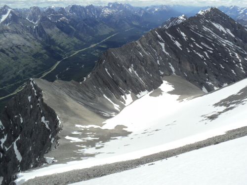
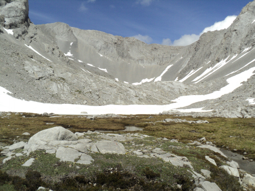
Looking down the
approach drainage. |
|
 |
|
|
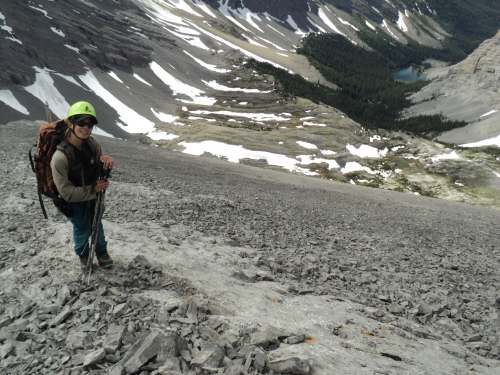
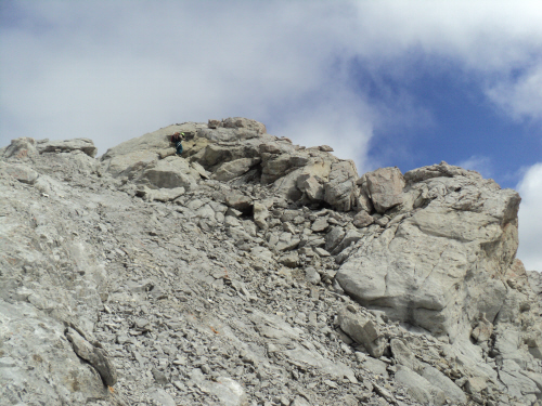
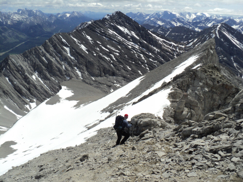
On the ridge with
the "rock step" ahead. |
|
|
 |
|
|
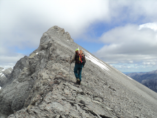
Pleasant hiking and
awesome scenery. |
|
|
 |
|
|
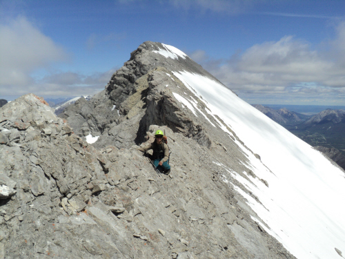
The "rock step",
nothing too tricky on either side. |
|
|
 |
|
|
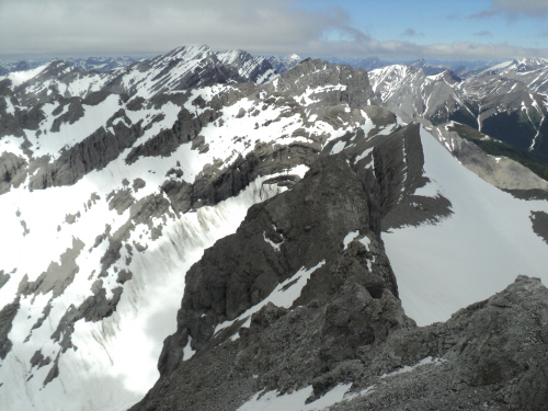
Interesting ridge
following the outcrop. |
|
|
 |
|
|
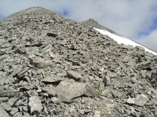
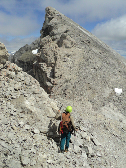
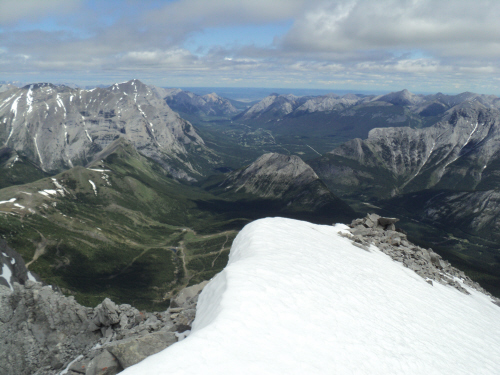
The summit is in
sight. |
|
|
 |
|
|
Posing on a
moderately exposed section. |
|
|
 |
|
|
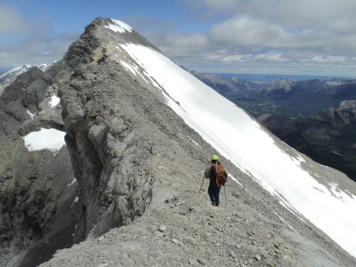
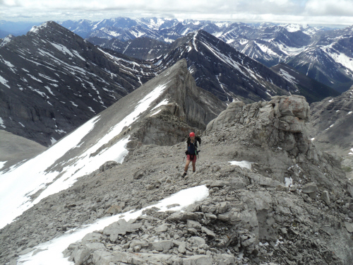
Last stretch to the
top (right of center). |
|
|
 |
|
|
The summit ridge is
aesthetically pleasing. |
|
|
 |
|
|
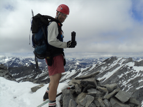
Right on, right on!!! |
|
|
 |
|
|
South-east slopes,
our fast ticket down. |
|
|
 |
|
|
Eastern view. |
|
|
 |
|
|
The Tower, Mount
Galatea, Gusty Peak and The Fortress all visible. |
|
|
 |
|
|
Reluctantly leaving
the top. |
|
|
 |
|
|
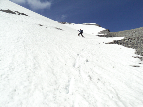
Fab traversing to
execute a better glissade. |
|
|
 |
|
|
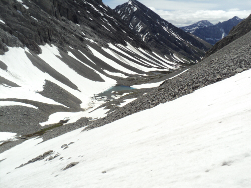
Coming to the lovely
basin below. |
|
|
 |
|
|
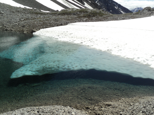
If the water wasn't
so cold... |
|
|
 |
|
|
Further down. |
|
|
 |
|
|
Another look back. |
|
|
 |
|
|
Beautiful area
indeed! |
|
|
 |
|
|
Heading towards the
trail. |
|
|
 |
|
|
Last peek at the
ascent slope. |
|
|
 |
|
|
Back at the gate and
parking lot. |
| Back
to home page |
|
|