| Ref: Alan Kane's
Scrambles
in the Canadian Rockies |
|
|
|
|
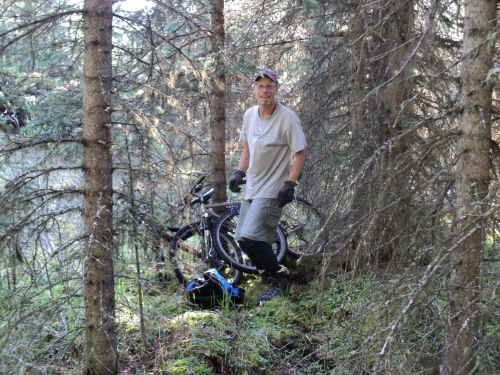
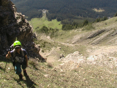
Stashing our bikes
near the food preparation area.
|
| Scramble: RT: 9.0; 4.25 up. Fab
and I had attempted Copper well over a decade ago. We figured it might be a
good destination, considering the ascent gully is open and
south facing. After stashing our bikes, we set off in a climbing
traverse towards the ascent gully. Finding it is easy with good
visibility; we recognized several features from other trip reports. The
ascent is delightful, on steep grasses and wild flowers. The upper
mountain requires some scrambling before reaching the ridge crest. We
had a cornice to surmount, this was the crux. Fab went to the thinnest
spot of the cornice and hacked at it with a ski pole while hanging on
to his deeply plunged axe... I wasn't even sure if I would be able to follow... A wet
point release came down the adjacent gully adding to my
tension, I watched it cascade down and over the rocks. Now armed with
gloves and my alpine axe, I took several deep breaths and proceeded to
the prepared cornice. Committing to the last couple of steps was tough,
Fab lent me a hand and pulled me up (Mount Hector came to mind)! From
the summit ridge, we walked to the top enjoying the awesome view all
around. We stayed for an hour and celebrated my 200th summit in the
Rockies. The weather started to move in. As we headed down, snow was
falling for a short time. We soon found the alternate descent gully. It
was fast going down, on snow mostly. The loose, fine shale facilitates
the uninterrupted and direct descent back to the campground. Very, very
nice loop! The bike ride down to the car is a bonus. |
|
|
|
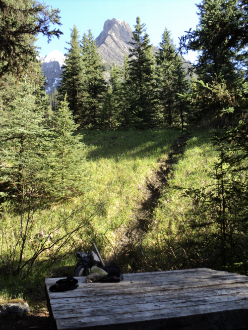
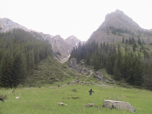
From the table, the
pinnacle is an obvious landmark.
|
|
|
|
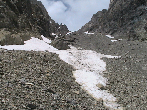
The view up the
route once in the right gully.
|
|
|
|
The grassy rib
divides two gullies.
|
|
 |
|
|
We cross over,
climber's right towards the noticeable sheer wall.
|
|
|
 |
|
|
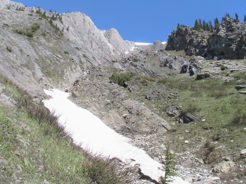
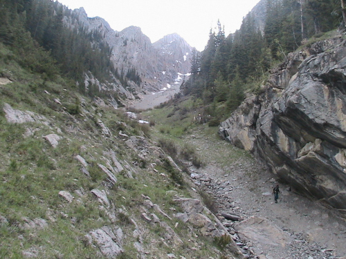
Looking down, the
run-out zone meets the creek.
|
|
|
|
|
|
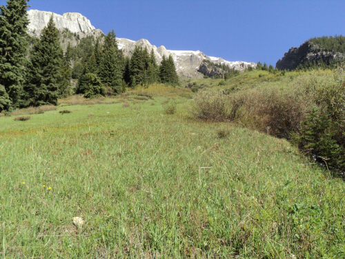
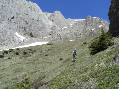
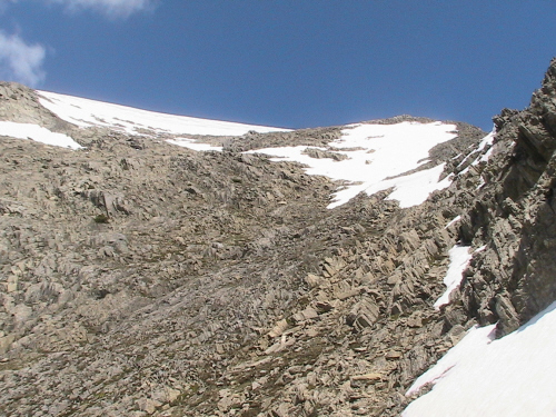
The grade eases
before the upper mountain.
|
|
|
|
|
|
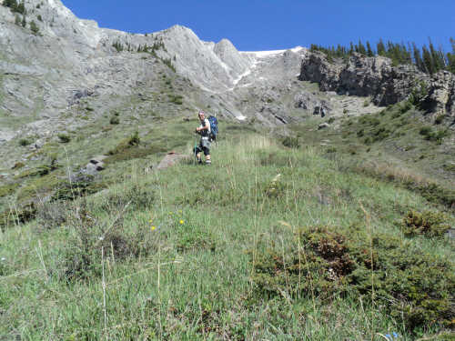
Several lines of
ascent are possible.
|
|
|
|
|
|
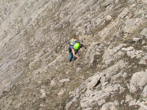
The ground is firm
and still grassy.
|
|
|
 |
|
|
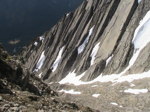
Remarkable sheer
wall along the way.
|
|
|
 |
|
|
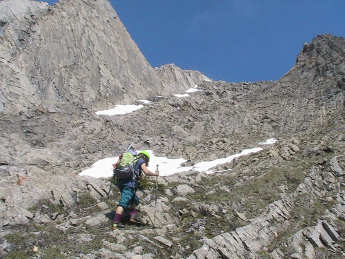
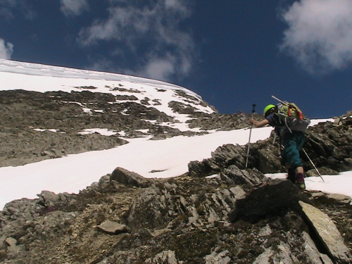
I used my hands
on the steeper section.
|
|
|
 |
|
|
Nearing the summit
ridge. |
|
|
 |
|
|
The cornice could
have turned us around...
|
|
|
 |
|
|
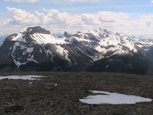
Pilot Mountain and
Mount Brett from the summit ridge. |
|
|
 |
|
|
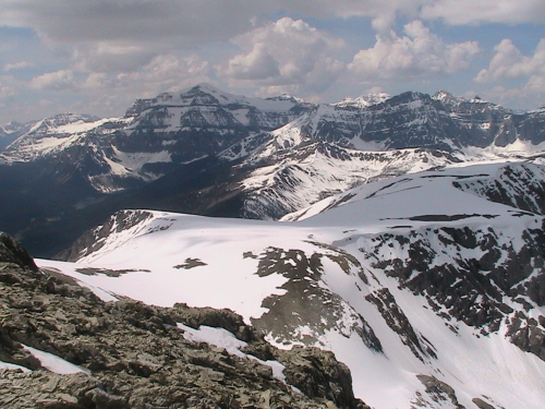
The very broad west
ridge, Mount Ball in the background.
|
|
|
 |
|
|
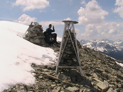
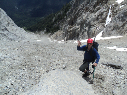
Fab sitting by the
cairn.
|
|
|
 |
|
|
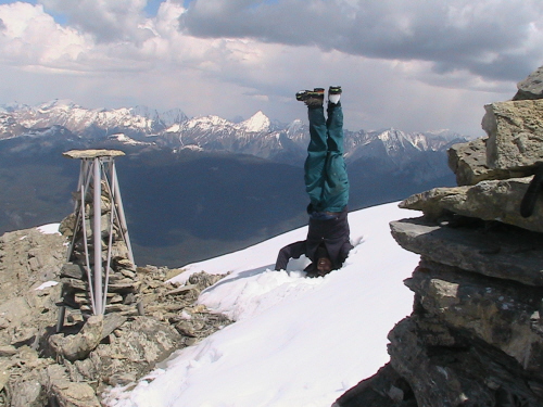
Head-stand next to
the benchmark, my 200th summit!!!!!!!!!
|
|
|
 |
|
|
Taking the alternate
gully for the return.
|
|
|
 |
|
|
Filled with soft
snow for a very fast descent.
|
|
|
 |
|
|
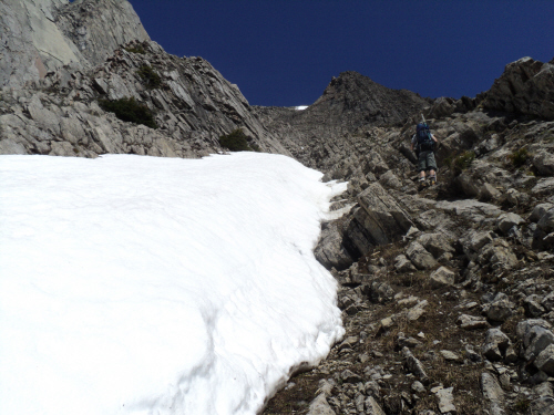
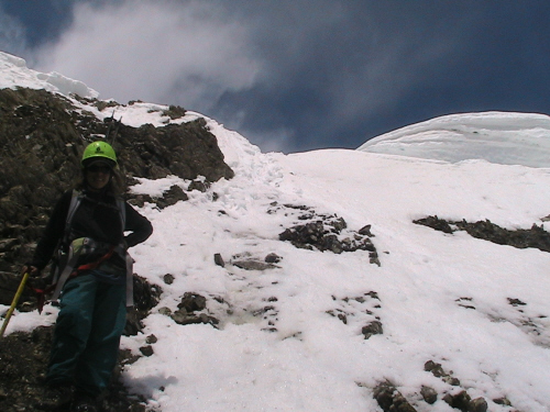
Just below the
cornice.
|
|
|
|
|
|
Last glimpse of the
ridge crest. |
|
|
 |
|
|
Uninterrupted gully
with fine shale, primo!
|
|
|
 |
|
|
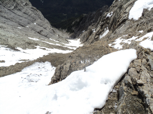
Near the bottom of
the gully.
|
|
|
 |
|
|
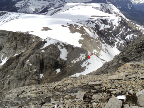
The alternate
descent behind me and the pinnacle.
|
| Back
to home page |
|
|