We used Mons
Road on the east side of highway 95, north of Parson, to reach Campbell
Road then headed south-east to a forestry road indicated on the map,
205643. The start of "dusty road" has cattle gates and numerous signs,
including one that reads private property; we respected the
other signs asking to stay on the road and off the grass fields. After
about 600 meters, before reaching the private property, we veered
left and continued on the service road. We parked at a junction,
222644, and walked the remaining 500 meters to a switchback. From
there, a trail leads directly to Johnson Draw Creek. We hiked the creek
bed until close to a substantial waterfall. A lot of new flagging and
cairns indicate the way climber's left of the falls but the trail is
faint. The goal is to ascend high enough to avoid the canyon while
traversing into the draw. We managed to mostly keep to the
flagged trail and at some point, we contoured below a rockband. Soon
thereafter, the crude trail makes its way back to the creek bed and the
flagging ceases. The next goal is to gain the saddle at 232665. An open
drainage is ideal for the ascent, 231655. The swath goes to a sub
summit,
it is necessary to go climber's left and traverse towards the saddle
to avoid unnecessary height gain. Once at the saddle, the gentle east
side of the mountain is revealed. The ascent to the top is easy from
the meadows below Bicarbonate's south-east ridge.
|
|
 |
|
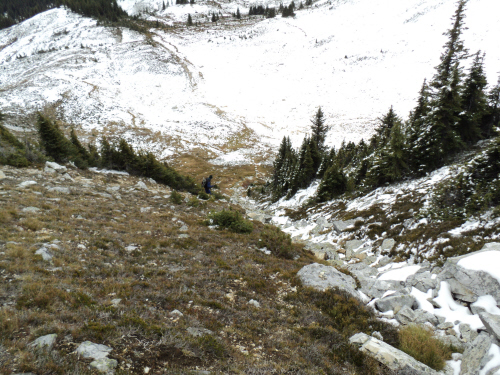
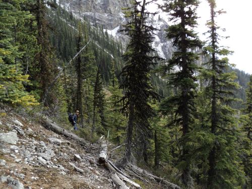
After parking, we
walked a short distance on the service road. |
|
 |
|
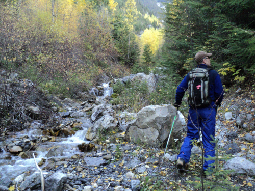
We hiked the creek
bed at first. |
|
 |
|
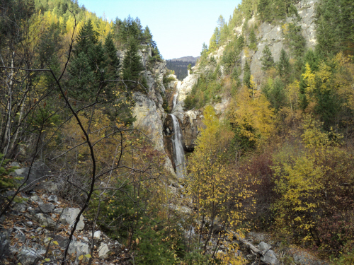
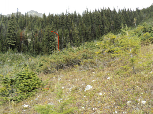
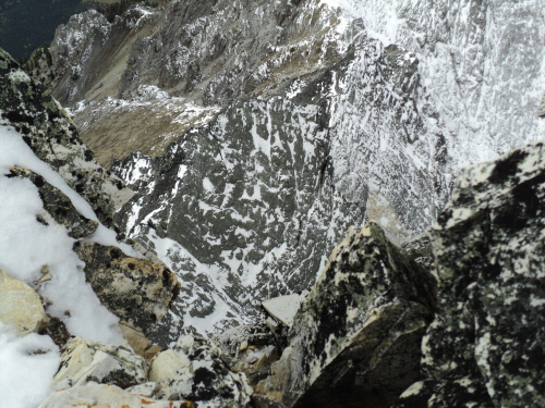
We need to
circumvent this waterfall climber's left. |
Scramble: RT
9.0; 4.5 up. This
outing was both pleasant and satisfying. There was no information on
Bicarbonate Peak other than Rick Collier's account, ascending
the summit while traversing the Beaverfoot Range. He mentions some
poles with prayer flags placed by a local fellow, we wanted to go check
it out. We planned our access from a convenient service road that leads
to
Jonhson Draw Creek. We expected the first couple of kilometers of
hiking to be
the crux, finding our way through typical bush and bluffs to the open
ascent drainage. To our surprise, a trailhead with flagging and freshly
cut shrubs led us down to the creek bed. We followed the creek until we reached a big waterfall. As we came out of the creek and
started climbing, we found some cairns and flags going up a talus
slope. Although the trail wasn't always visible, the flagging was
recent, numerous and it was going in our direction! Very happy about
that, we went along breaking branches and building cairns. We made it
into the draw in good time and the grunt to the saddle
ensued. Higher up the ascent drainage, we could estimate the low
point of the saddle and aimed for
it. Again, we stepped onto a flagged trail and after
3 hours, we reached the saddle. Finally, we got our first look at the
beautiful
eastern side of the mountain and the summit. The sun was still shining
as we hiked the meadows below, avoiding most of the snow. The plod to
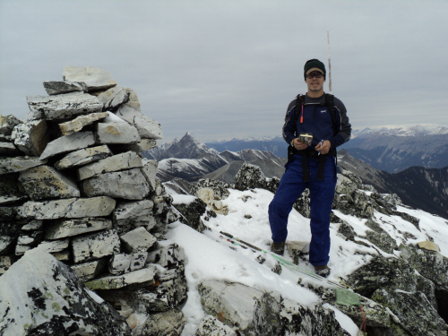
the top is straightforward, we enjoyed it. The massive cairn is
accompanied by masts and long strings of prayer flags courtesy of Andy
Lewis; it's a special sight for such an unknown summit. The view from
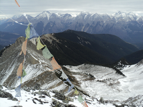
this prominent viewpoint is excellent all around! The drop on the
western side is sure to evoke emotions, especially
after stepping across a deep fissure along the summit crest... Fab was
pleased to see a register, it had just been placed this year! We stayed
for a while but as the clouds moved in, we slowly started our descent.
We had a nice return, the meadows are lovely and the open access
drainage is good travelling. The flagged traverse in the bush is
certainly a bonus!!! I hope the trail gets more usage, this local peak
deserves the attention. A visit is well worth the effort!
|
|
 |
|
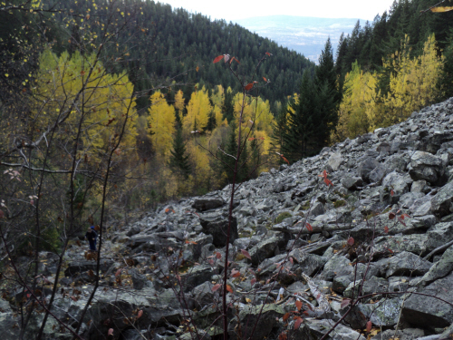
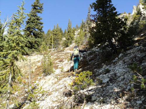
Looking back as we
climb a cairned talus slope. |
|
 |
|
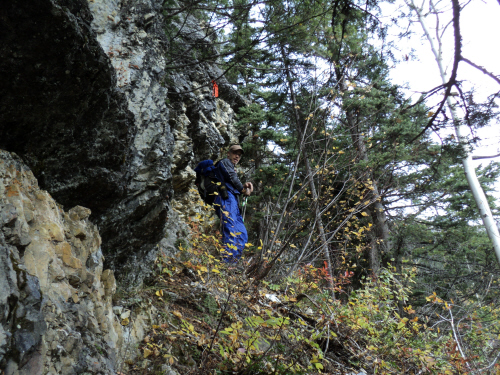
Traversing below a
rockband. |
|
 |
|
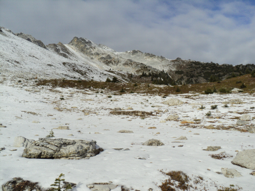
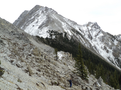
The open ascent
drainage comes into view. |
|
 |
|
Back on the creek
bed with the entrance to the open swath going climber's right. |
|
 |
|
|
The swath leads to a
sub peak, we beelined to the saddle from here. |
|
|
 |
|
|
To our surprise, the
flagged trail picks up again. |
|
|
 |
|
|
Clouds dissipate as
we near the saddle. |
|
|
 |
|
|
The terrain is
increasingly interesting. |
|
|
 |
|
|
From the saddle, the
summit is revealed. |
|
|
 |
|
|
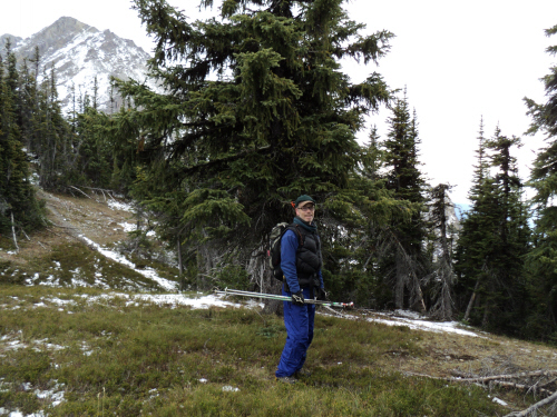
Very pleasant hiking
towards our objective. |
|
|
 |
|
|
Using the grassy
slope to attain the upper mountain. |
|
|
 |
|
|
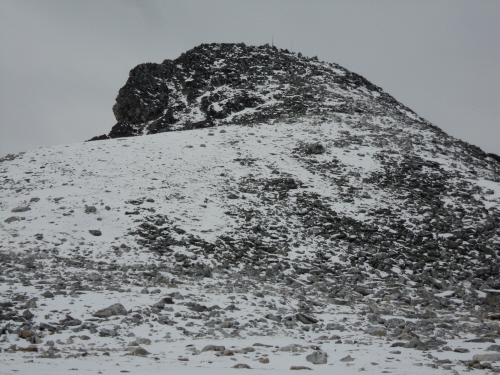
The top is not
visible yet. |
|
|
 |
|
|
Last stretch to the
summit. |
|
|
 |
|
|
At the top with the
register in hand. |
|
|
 |
|
|
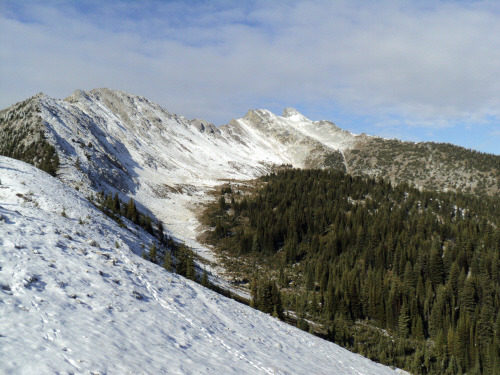
Looking north-east
towards the Ottertail Range. |
|
|
 |
|
|
A dizzying drop on
the west side. |
|
|
 |
|
|
Two wooden masts are
wedged in a deep fissure running along the edge; standing on the other
side of the gap makes us slightly uneasy. |
|
|
 |
|
|
Southern view along
the Beaverfoot Range and the Columbia Valley. |
|
|
 |
|
|
Heading back. |
|
|
 |
|
|
Down the grassy
slope. |
|
|
 |
|
|
Lovely landscape and
great view. |
|
|
 |
|
|
Back at the saddle. |
|
|
 |
|
|
Following the trail. |
|
|
 |
|
|
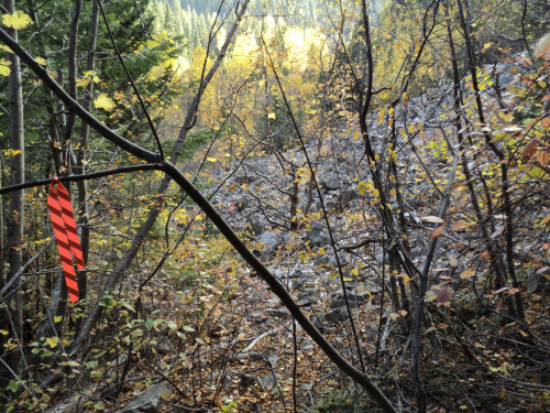
Fresh flagging
guiding us back to the swath. |
|
|
 |
|
|
The open drainage
ahead. |
|
|
 |
|
|
Easy travelling with
a view. |
|
|
 |
|
|
At
the creek bed, ready to backtrack through the trees. |
|
|
 |
|
|
Circumventing the
rockband again. |
|
|
 |
|
|
Dropping down the
talus slope, back to the creek bed. |
|
|
 |
|
|
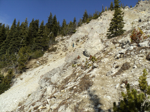
Going up the
escarpment, minutes away from the service road. |
| Back
to home page |
|
|