Ref: Recreation Sites and Trails BC
|
|

|
|
|
Trail map provided by the snowmobiling club.
|
Snowshoe trip: RT 12.75 (includes
Mount Mobley); 5.25 up. Crowfoot is a vast plateau-like mountain that
is a very popular snowmobiling area. The official summit itself is
merely a bump along the way to Mount Mobley. The mountain hosts three warming cabins, one of which is on a
neighboring peak called Mount Fowler (also known as Grizzly Peak). The
goal of my trip was to hike on the groomed snowmobile trail to the
Mobley Lookout where one of the cabins is perched on a cliff's
edge. The challenge was the distance, 18 kilometers one way, combined
with significant height gain. Additionally, I decided to bring my
camping gear as I planned to forgo staying in the tiny shelter because
of COVID; carrying the extra weight made the trek more arduous. After
paying a small parking fee at the trailhead and registering with the
attendant to avoid an unnecessary rescue, I began hiking. I followed
Sheep Trail and The Face shaving some distance. Many snowmobilers
stopped to inquire about my trip, some were baffled while others were
impressed. Near the summit, I had to use my GPS to locate the official
highpoint. From the groomed trail, it was difficult to discern which
mound was the highest. I put on my snowshoes for that very short side trip. From the summit, I was able to peer down the
south side towards Shuswap Lake. It
was a nice day and it felt like spring. All the height
gain was behind me; what remained was a delightful casual walk in
open terrain. After a quick snack, I continued along the plateau to
Mount Mobley.
|
|
|
|
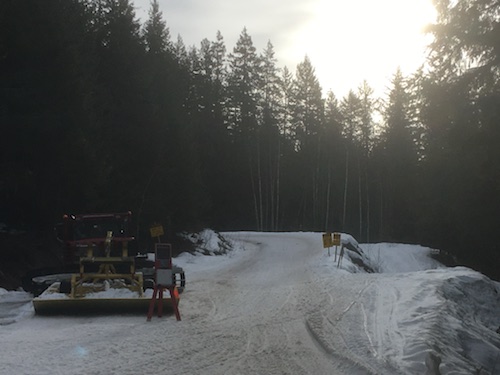
Grooming equipment at the start of the trail.
|
|
|
|
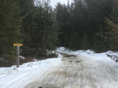
Sheep Trail and The Face are steep shortcuts.
|
|

|
|
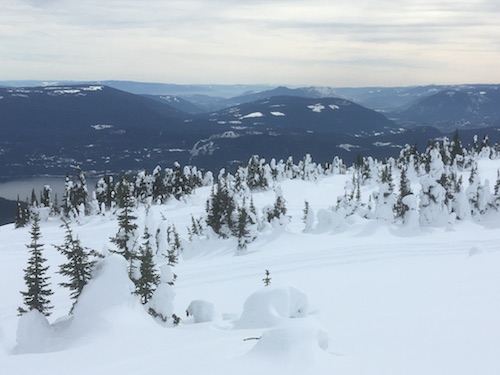
Looking back over Shuswap Lake towards Blind Bay and Sorrento.
|
|

|
|
Most of the sled traffic is along Easy Street as this isn't groomed anymore.
|
|

|
|
|
After 3 hours, Crowfoot Mountain comes into view.
|
|
|

|
|
|
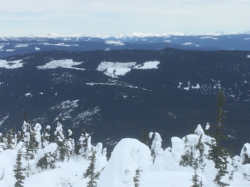
To the south, the top of Mount Ida is revealed.
|
|
|
|
|
|
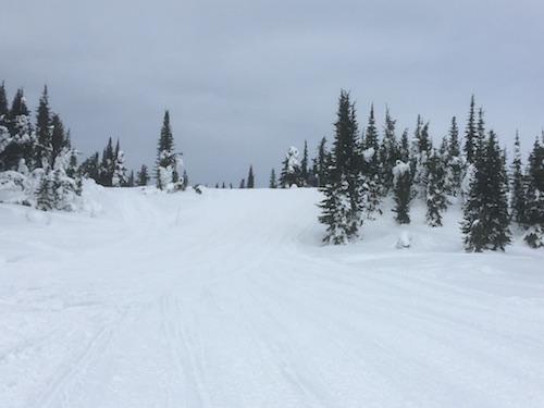
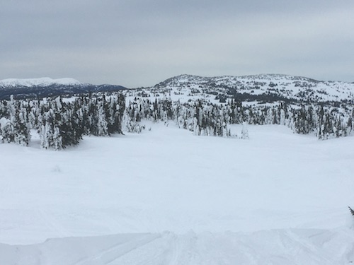
The terrain levels off on the plateau that is better known as Crowfoot Meadows.
|
|
|
|
|
|
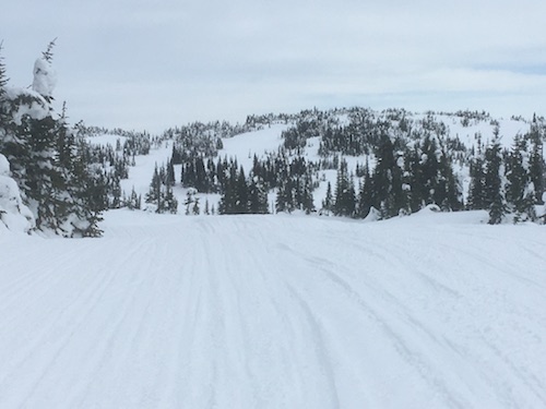
The summit is somewhere ahead.
|
|
|

|
|
|
From the summit, the impressive peaks of the Anstey Range come into view.
|
|
|
|
|
|
Bastion Mountain with Mount Ida behind it, the town of Salmon Arm is between the two.
|
|
|
|
|
|
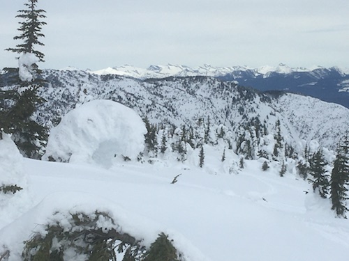
Mounts Begbie and English amongst other Revelstoke gems can be seen south-east of here.
|
|
|
|
|
|
To the north-east, the Anstey Range rises above Mount Fowler.
|
|
|

|
|
|
South-western view.
|
|
|
|
|
|
My next objective, Mount Mobley.
|
|
|
Continue
on to Mount Mobley
|
| Back
to home page
|
|
|