| Ref: Alan Kane's
Scrambles
in the Canadian Rockies |
|
 |
|
|
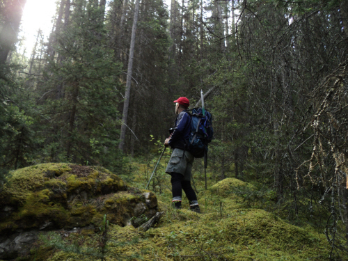
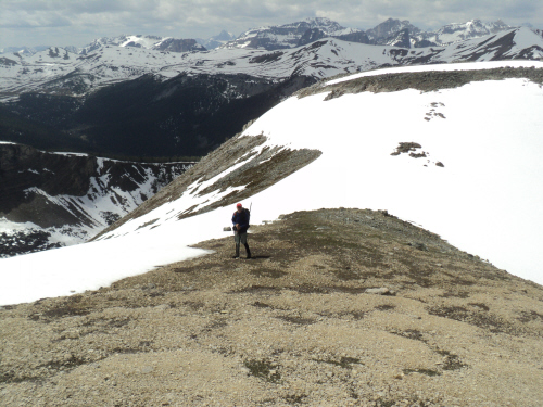
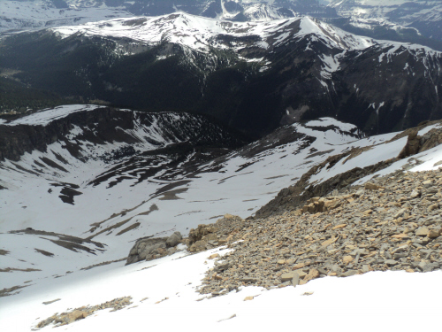
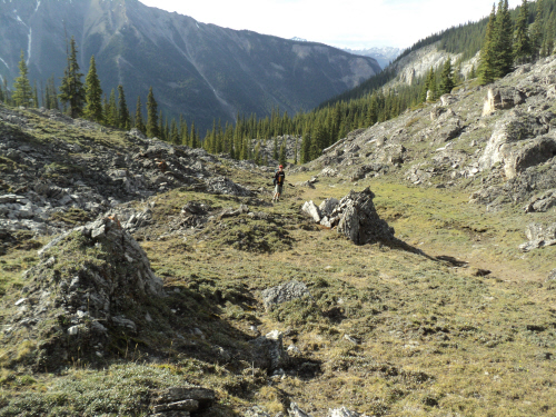
Good travelling up
the wrong drainage before our traverse to the proper draw. |
| Scramble: RT
11.5; 6.0 up. Yet another fantastic adventure. We were looking forward
to doing this one. Our plan was to avoid the difficult scrambling on
the summit ridge by going around via the southern slopes.
We expected
the alpine to still be snowbound and it was. The biking wasn't too bad,
within 45 minutes we
reached a fair sized cairn past the ascent gully for Pilot. After
stashing our bikes, we ascended the mossy, light timbered
terrain
and gained a faint trail. We followed it for a short while until
noticing it was heading towards Pilot. From there, we contoured across
the mountainside heading for the proper drainage. Having gained some
elevation already, we reached the drainage high above some cliffs. We
had 2 options; going back down to the bottom of the drainage or
climbing the ridge above the cliffs hoping it connects to the glen. We
chose the latter one. We climbed for a short distance when Fab found a
ramp that traverses to a side drainage and onto a shrubby slope. We
were very pleased to see the bottom of the draw ahead, the beeline
saved us a lot of height loss but it had been a gamble... The glen is
splendid. Very large, coarsely textured boulders form an undulating
landscape. We trekked in the valley, sometimes on grassy sections that
looked like golf greens. Further, the rugged terrain forms small mounds
and larch dominates. It is very nice hiking through here. We gained a
highpoint and climbed to the ascent ridge from there. The broad ridge
is
lovely. We strolled towards a small pass on the southern side of the
ascent ridge, that is the start of a long traverse to the rubbly
ascent slope. Aside from being tedious, the way around is
easy. We were lucky with the snow conditions, firm snow offered good
travel. Eventually we got to the ascent slope. The snowfree sections
are quite loose but once at the crest of the slope, the summit is
minutes away. The view from this lofty summit is among the best. Fab
took the ice out of the register and tried to dry the notepad. The wind
was nagging but when the sun came out, it was delicious!!! After an
hour
at the top, we started our descent. We used our firm up-track and
glissaded where we could, this turned out great. In little time, we had
the small pass in sight and the broad grassy ridge after that. We
couldn't resist another long break, with boots off, at the bottom of
the valley. The return trip was delightful well into the trees. We
ended up skirting the bottom of the cliffs. The way became a
little obstructed with deadfall and shrubs after that but we
stepped onto the fireroad without a hitch. A very small cairn dots the
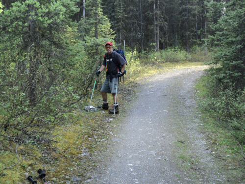
drainage, the shrubs are thick at first. We retrieved our bikes, 300
meters down the fireroad and zoomed back down to the car. |
|
 |
|
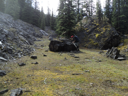
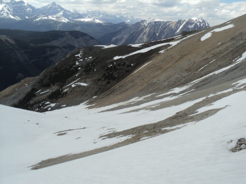
Luckily a ramp above
cliffs delivers us to the ascent drainage. |
|
 |
|
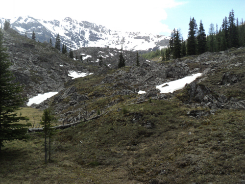
Hiking here is
delightful, Mount Brett is in sight. |
|
 |
|
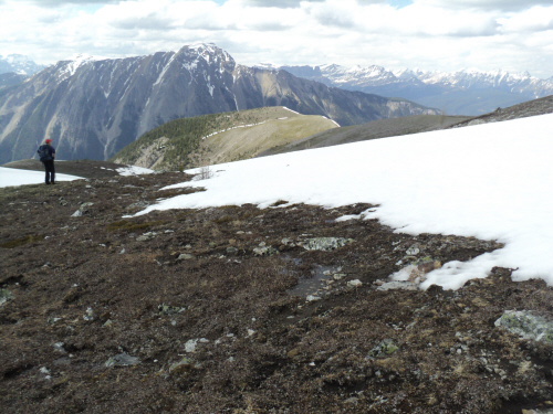
Approaching
a highpoint, there's a small tarn on the other side. |
|
 |
|
|
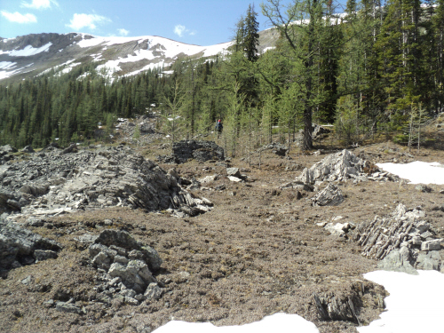
From the highpoint,
we aimed for the ascent ridge. |
|
|
 |
|
|
Quick height gain on
an open slope. |
|
|
 |
|
|
On the broad grassy
ridge we head for the small pass. |
|
|
 |
|
|
Beyond the pass, we
traversed to a saddle. |
|
|
 |
|
|
At the saddle. |
|
|
 |
|
|
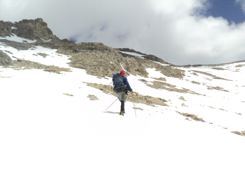
From here, we
continue towards the summit ridge (center). |
|
|
 |
|
|
Almost at the ridge
crest, the top is then minutes away to the left. |
|
|
 |
|
|
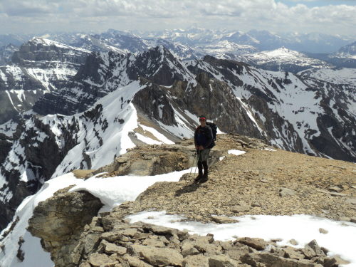
At the summit with
Mount Assiniboine in the far distance. |
|
|
 |
|
|
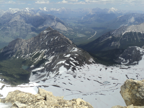
Looking towards
Banff. |
|
|
 |
|
|
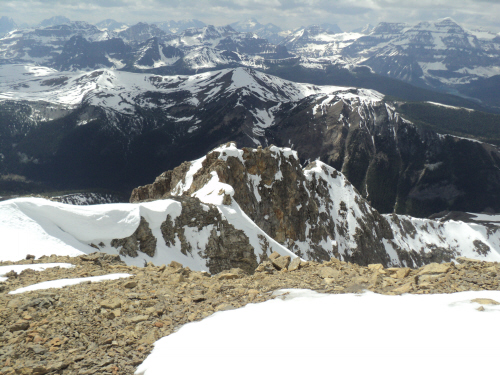
A glimpse at the
difficult route on the ascent ridge. |
|
|
 |
|
|
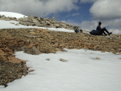
Fab's drying out the
register, it's too wet for us to sign in! |
|
|
 |
|
|
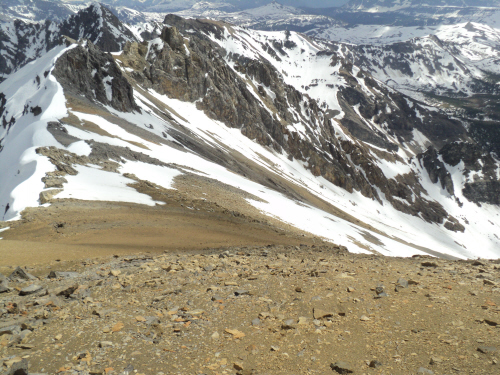
Copper Mountain and
the glen below. |
|
|
 |
|
|
Leaving the top, we
head for the scree. |
|
|
 |
|
|
We regained our
track following a good glissade. |
|
|
 |
|
|
We glissaded again
and climbed to the pass instead of contouring. |
|
|
 |
|
|
At the pass. |
|
|
 |
|
|
Our last glissade
down the notch in the ridge. |
|
|
 |
|
|
This is a superb
place, we fully enjoyed it. |
|
|
 |
|
|
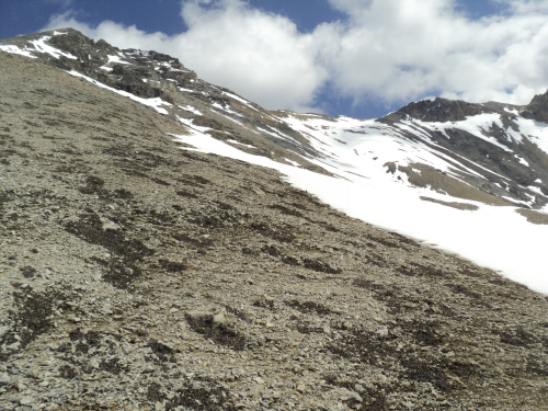
Heading down the
lunar landscape. |
|
|
 |
|
|
Further down the
glen. |
|
|
 |
|
|
Travelling is great
well into the trees. |
|
|
 |
|
|
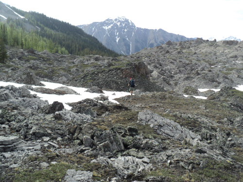
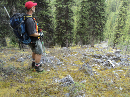
A tiny cairn
indicates the ascent drainage, initially choked with shrubs. |
| Back
to home page |
|
|